Custer Gallatin National Forest, National park in Montana and Wyoming, United States.
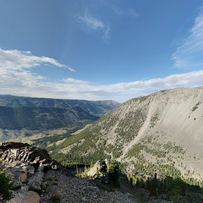
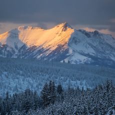
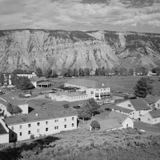
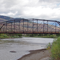
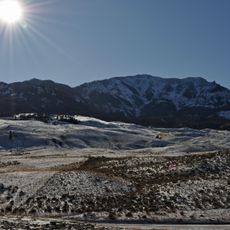
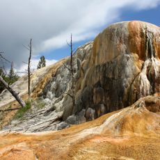
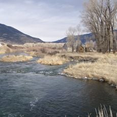
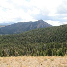
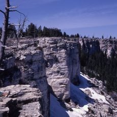
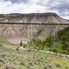
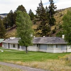
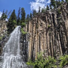
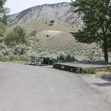
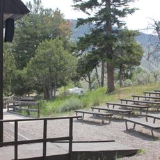
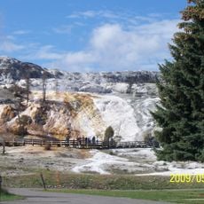
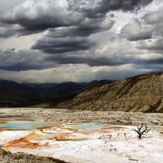
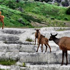
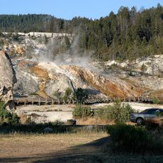
Custer Gallatin National Forest is a vast protected area spanning the border between Montana and Wyoming, encompassing mountain ranges, valleys, rivers, and diverse ecosystems. The terrain offers a mix of landscapes ranging from dense forests to high alpine zones and open meadows.
The area was established in 1899 as Gallatin National Forest and operated as a separate preserve for over a century before merging with Custer National Forest in 2014. This consolidation created a unified management framework for the entire forest system.
The forest carries the name of Albert Gallatin, a U.S. statesman who devoted himself to studying Native American languages and documenting tribal traditions in this region. His name reflects the layered history of encounters between European settlers and indigenous peoples in this land.
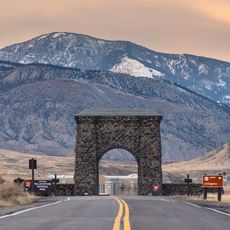
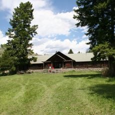
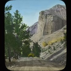
Visitors can reach the forest via Interstate 90 and connecting highways that lead to numerous trails, campgrounds, and wilderness areas throughout the preserve. Summer and early autumn offer the best conditions for exploring, as high-elevation routes remain snow-free and passable during these seasons.
Montana's highest peak, Granite Peak in the Beartooth Range, rises within this forest and attracts experienced mountaineers seeking true alpine challenges. Few visitors realize this landmark sits at the heart of the preserve, making it a destination for those pursuing remote summits.
The community of curious travelers
AroundUs brings together thousands of curated places, local tips, and hidden gems, enriched daily by 60,000 contributors worldwide.