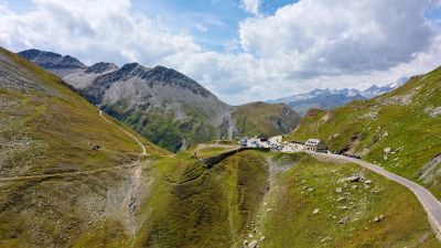
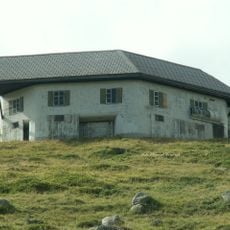
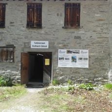
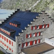
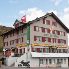
Furka Passhöhe, Mountain pass tourism office in Realp, Switzerland
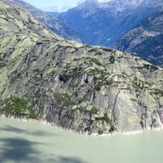
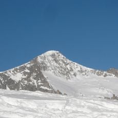
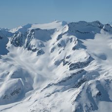
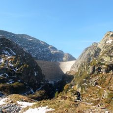
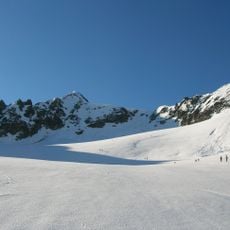
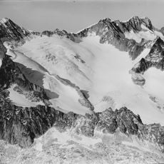
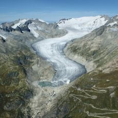
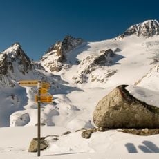
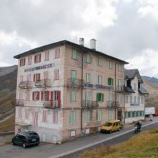
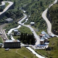
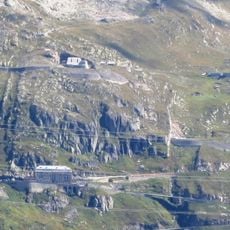
Furka Passhöhe is an information center on an alpine route near Realp at approximately 2,400 meters in elevation. The facility sits along the road connecting two valleys and provides visitors with details about local paths, road conditions, and nearby amenities.
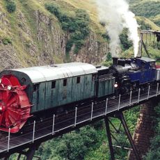
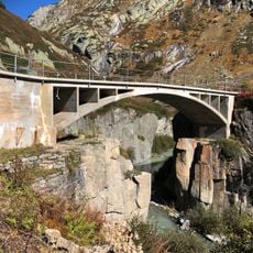
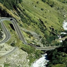
The route over the pass was already known as a trade route in medieval times, connecting the valleys on both sides. In the 19th century, it developed into a major transportation hub for coaches and later for automobile and motorcycle traffic.
The pass served as a vital mountain route linking different alpine valleys and attracted merchants and travelers for centuries. Today, visitors can sense this legacy through the steady stream of vehicles and the way the road remains a popular challenge for cyclists and motorcycle enthusiasts.
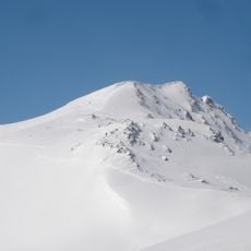
The location is accessible from June to October when the road is open and weather permits mountain activities. Visitors should prepare for changing conditions and pay close attention to weather forecasts, especially during the later months of the season.
The pass is known for being associated with one of the longest and most challenging descents on a Swiss road. This section tests drivers and is highly valued among experienced motorcyclists and cyclists.
The community of curious travelers
AroundUs brings together thousands of curated places, local tips, and hidden gems, enriched daily by 60,000 contributors worldwide.