Muttenhorn, Mountain summit in Saint-Gotthard Massif, Switzerland
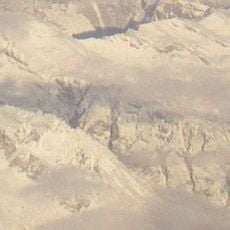
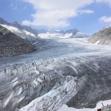
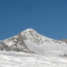
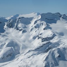
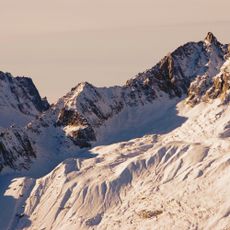
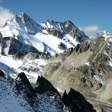
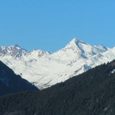
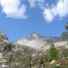
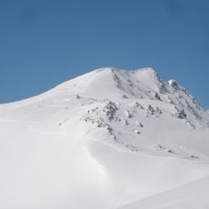
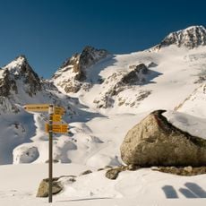
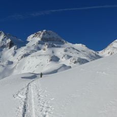
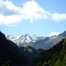
Muttenhorn is a 3099 meter peak in the Saint-Gotthard Massif with extensive glacier coverage on its northwestern side. The mountain displays typical high Alpine features including rock faces, snow fields, and crevassed terrain across its slopes.
The peak marks the historic boundary between Valais and Uri cantons and served as a reference point for Alpine crossings over centuries. Its location along traditional trade routes made it a recognizable landmark in the Alpine landscape.
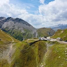
The ridge carries the name Muttenhörner, while the main summit is called Gross Muttenhorn; the lower points are Chli Muttenhorn (3,024 m) and Stotzig Muttenhorn (3,062 m). The border between Uri and Valais runs along the crest from Gross Muttenhorn southeastward. The easiest ascent, from Furka Pass over the Tällilücke and the west ridge, is graded T4 on the SAC hiking scale and involves climbing of grade I.
Climbing this peak requires Alpine experience and gear including ropes, ice axes, and crampons for the steep and glaciated sections. Access is possible from either Furka Pass or Realp, with favorable weather conditions being important for the attempt.
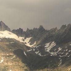
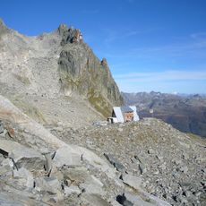
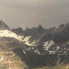
The ridge runs about two kilometres from the Gross Muttenhorn southeast to the Muttenlücke (2,846 m), with the Chli Muttenhorn (3,024 m) and Stotzig Muttenhorn (3,062 m) barely rising above the average crest line. Near the Muttenlücke the Saashörner ridge branches off at right angles to the southwest. The rock is weathered gneiss and granite, cut by sharp-edged pinnacles.
The community of curious travelers
AroundUs brings together thousands of curated places, local tips, and hidden gems, enriched daily by 93,741 contributors worldwide.