Swiss Alps, Mountain range in Switzerland.
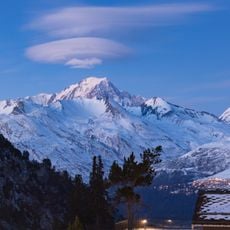
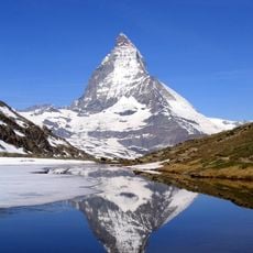
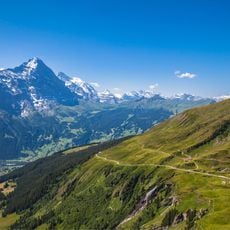
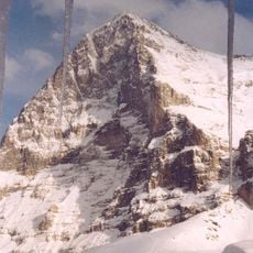
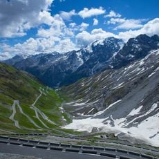
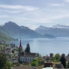
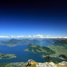
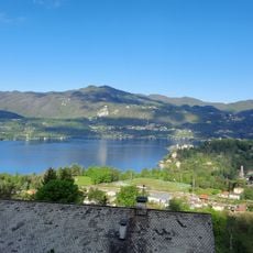
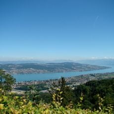
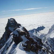
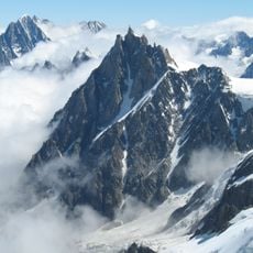
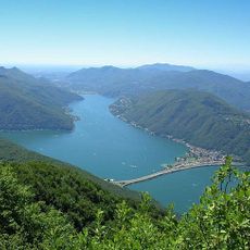
The Swiss Alps are a mountain range in Switzerland covering more than half the country and stretching across several cantons. The landscape shifts between steep rock faces, glacier valleys, and green high meadows used for grazing in summer.
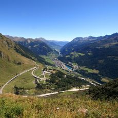
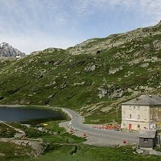
Transit across the Alps shaped the region from the Middle Ages onward, and the area north of the St Gotthard Pass became the nucleus of the Swiss Confederacy in the early 14th century. The Würm glaciation, ending about 18,000 years ago, carved the U-shaped valleys, and the retreat of the Rhine Glacier some 10,000 years ago left the Flims Rockslide, the largest still visible landslide worldwide.
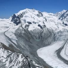
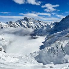
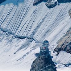
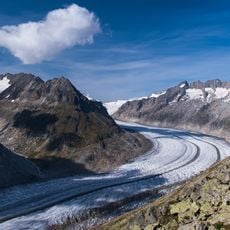
The name "Swiss Alps" covers both the Western and Eastern Alps, divided along the Rhine from Lake Constance to the Splügen Pass. Alpine tourism generates about 60% of the country's national tourism resources, and the Alps serve above all as leisure space for city dwellers. The Aletsch, Fiescher and Aar glaciers became a UNESCO World Heritage Site in 2001.
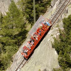
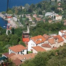
Numerous cable cars and mountain railways lead to viewpoints and hiking trails between 1500 and 3000 meters (4900 to 9800 feet) elevation. Weather shifts often occur rapidly, so warm clothing is advisable even in summer.
The Aletsch glacier region reveals tree stumps from Roman times that once lay beneath ice and now emerge as the glacier retreats. Some valleys hold their own microclimates with Mediterranean plants despite the elevation.
The community of curious travelers
AroundUs brings together thousands of curated places, local tips, and hidden gems, enriched daily by 93,938 contributors worldwide.