Marchhorn, Mountain summit on the Swiss-Italian border in Ticino
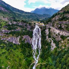
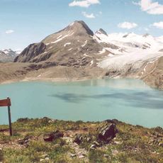
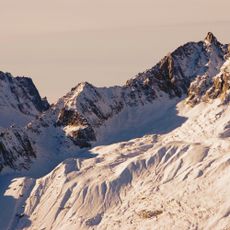
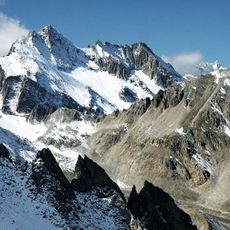
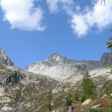
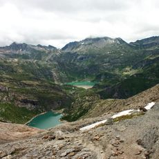
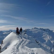
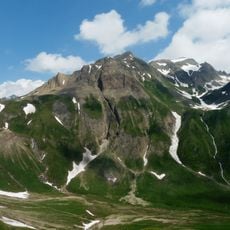
Marchhorn rises to 2,962 meters in the Lepontine Alps, where the Swiss canton of Ticino meets Italy. The area features steep rocky slopes and multiple climbing routes of varying difficulty that wind through the alpine terrain.
The Marchhorn lies on the Swiss-Italian border above the San Giacomo Pass, and the sources consulted record no documented first ascent or dated climbing history for the summit. Its 2,962-metre height appears in reference listings alongside the Hikr climbing database, which collects route reports for the peak. The mountain is part of the Lepontine Alps, the range that carries this stretch of the border between Ticino and Italy.
The mountain is called Marchhorn on the Swiss side and Punta del Termine on the Italian side. Local people use different names depending on which country they come from, showing how this border region is shared between two cultures.
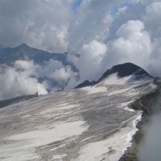
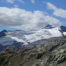
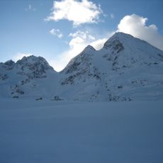
The Marchhorn lies on the Swiss-Italian border above the San Giacomo Pass, which gives access from the pass side. The summit reaches 2,962 metres, and the area receives about 2,204 mm of precipitation a year, so snow and ice can persist on the upper slopes. Approach and climbing equipment are needed; the Hikr listing is a source of route information.
The summit acts as a natural watershed that directs water into different valleys on each side of the border. This system connects the mountain regions of Switzerland and Italy despite their political separation.
The community of curious travelers
AroundUs brings together thousands of curated places, local tips, and hidden gems, enriched daily by 94,023 contributors worldwide.