Basòdino, Alpine summit in Ticino, Switzerland
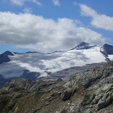
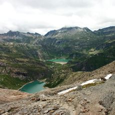
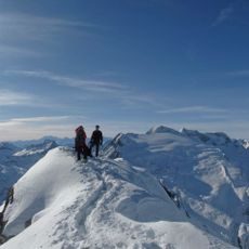
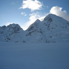
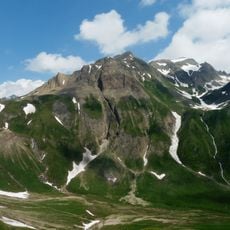
Basòdino is an Alpine summit reaching 3,272 meters and stands as the highest mountain peak within the canton of Ticino in the Lepontine Alps. The area features glaciers and offers hiking routes of varying difficulty.
The first documented ascent was made on 3 September 1863 by a rope team led by the mountain guide Peter Jossi, with Zanini, Gaudenzio, Giacomo Padovani and Pietro Scuella from Airolo, via the normal route over the glacier and the east ridge. The summit lies on the border between Ticino and Piedmont.
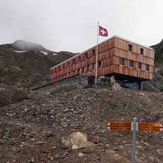
The mountain's name appears in local Walser form as Basodinärhorä, and the summit carries a bronze marker for the IGM primary geodetic network point 05A901 Monte Basodino. The normal route starts at Riale and passes the Rifugio Maria Luisa, linking an Italian valley village with the Swiss side.
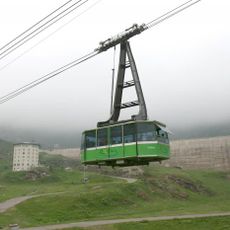
The summit is most easily reached during warmer months when snow cover is minimal and hiking routes are clear. The San Carlo-Robiei cable car provides a good starting point for routes into the higher elevations.
On the summit, a bronze disk marks the primary geodetic point of the IGM network, numbered 05A901 Monte Basodino. The Basodino glacier lies on the mountain's northern side, while the normal route from Riale passes the Rifugio Maria Luisa.
The community of curious travelers
AroundUs brings together thousands of curated places, local tips, and hidden gems, enriched daily by 92,741 contributors worldwide.