
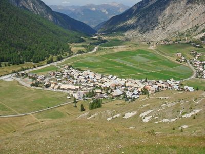
GR 58 Tour du Queyras
Address: 34 Rue du Campanile, 05350 Arvieux, France
GPS coordinates: 44.79250,6.73175
Latest update: June 1, 2025 17:02
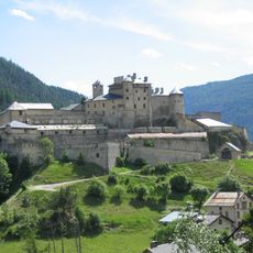
Fort Queyras
6.1 km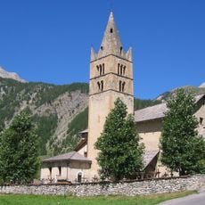
Queyras Regional Natural Park
11.5 km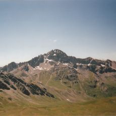
Pic de Rochebrune
5.5 km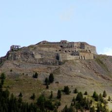
Fort de l'Infernet
11.9 km
Sommet des Anges
11.4 km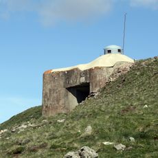
Ouvrage Gondran
11.6 km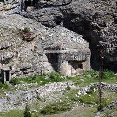
Ouvrage Les Aittes
9.4 km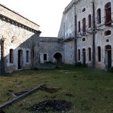
Fort de la Croix-de-Bretagne
10.9 km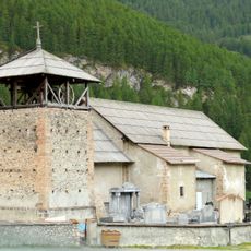
Église Saint-Romain de Molines-en-Queyras
10.8 km
Téléphérique de Terre Rouge
10.1 km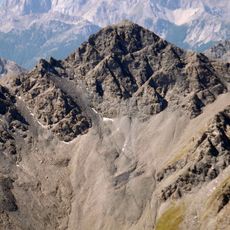
Pic de Petit Rochebrune
9.8 km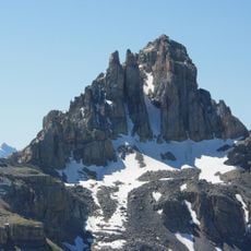
Pic du Béal Traversier
5.2 km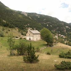
Chapelle Sainte-Marie-Madeleine-des-Escoyères
8.5 km
Église Saint-Laurent d'Arvieux
3 km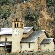
Église Saint-Michel de Cervières
8.8 km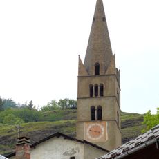
Église Saint-Jean-Baptiste d'Aiguilles
10.8 km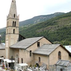
Église Saint-André de Ville-Vieille
8 km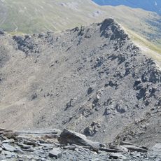
Montagne de Malrif
11.8 km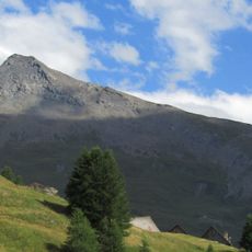
Pic Lombard
9.5 km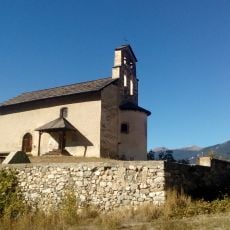
Chapelle Saint-Pancrace de Villar-Saint-Pancrace
11.9 km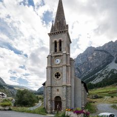
Église Saint-Michel-et-Saint-Mammès de Cervières
8.5 km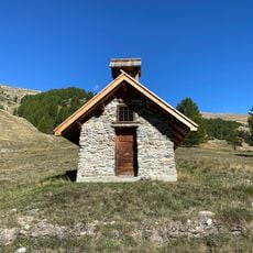
Chapelle Saint-Claude de Prafauchier
9.3 km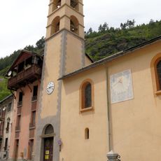
Église Sainte-Marie-Salomé de Château-Queyras
6.2 km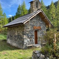
Chapelle Saint-Gervais-et-Saint-Protais du Blétonnet
6.2 km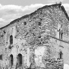
Maison, la Rua
10.5 km
Protestant church of Arvieux
3 km
Chapelle Saint-Pierre du Bourget
9.7 km
Chapelle Notre-Dame-des-Neiges des Fonts
8.8 kmVisited this place? Tap the stars to rate it and share your experience / photos with the community! Try now! You can cancel it anytime.
Discover hidden gems everywhere you go!
From secret cafés to breathtaking viewpoints, skip the crowded tourist spots and find places that match your style. Our app makes it easy with voice search, smart filtering, route optimization, and insider tips from travelers worldwide. Download now for the complete mobile experience.

A unique approach to discovering new places❞
— Le Figaro
All the places worth exploring❞
— France Info
A tailor-made excursion in just a few clicks❞
— 20 Minutes