
Adamstown Links
Location: Adamstown
Operator: Gavin Stark
GPS coordinates: 40.24062,-76.06366
Latest update: November 15, 2025 16:34
State Game Lands Number 52
11.3 km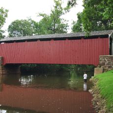
Bucher's Mill Covered Bridge
7 km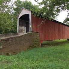
Red Run Covered Bridge
7.4 km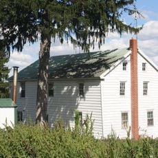
Grand View Dairy Farm
8.4 km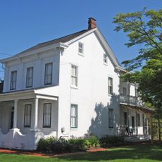
John Updike Childhood Home
10.8 km
State Game Lands Number 274
7.7 km
Spring Grove Forge Mansion
11.3 km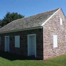
Alleghany Mennonite Meetinghouse
7.9 km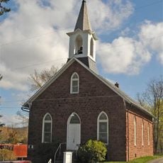
Reinholds Station Trinity Chapel
5 km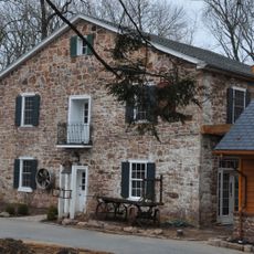
Bucher Thal Historic District
6.1 km
Bowmansville Roller Mill
7.2 km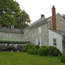
Hibshman Farm
10.3 km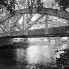
Weaverland Bridge
11.5 km
John B. Good House
6.3 km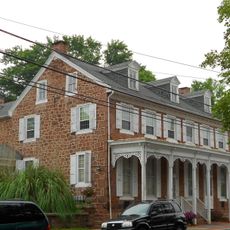
Kagerise Store and House
501 m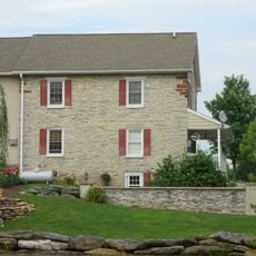
Peter and Catherine Reyer Farmhouse
11.1 km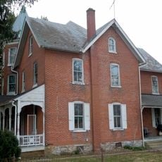
Knorr-Bare Farm
9.2 km
Nolde Forest Environmental Education Center
9.9 km
Lerch Tavern
10.1 km
West Cocalico Township Park
5.4 km
Henry Walter House
8.4 km
Shillington Theater, Lancaster Avenue
10.9 km
Shillington Theater, New Holland Avenue
10.6 km
State Game Lands Number 220
5.9 km
Manor Golf Course
5.5 km
Mother Tucker's Antiques
9 km
Chit Chat Auditorium
8.2 km
Rock Outcrop
10.5 kmReviews
Visited this place? Tap the stars to rate it and share your experience / photos with the community! Try now! You can cancel it anytime.
Discover hidden gems everywhere you go!
From secret cafés to breathtaking viewpoints, skip the crowded tourist spots and find places that match your style. Our app makes it easy with voice search, smart filtering, route optimization, and insider tips from travelers worldwide. Download now for the complete mobile experience.

A unique approach to discovering new places❞
— Le Figaro
All the places worth exploring❞
— France Info
A tailor-made excursion in just a few clicks❞
— 20 Minutes