Road up the mountain
Location: Région des Plateaux
GPS coordinates: 7.38134,0.86410
Latest update: October 25, 2025 09:27
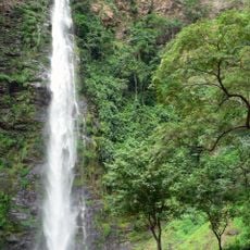
Wli waterfalls
41.5 km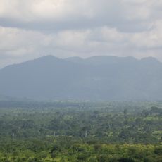
Mount Agou
58.1 km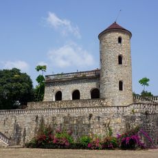
Château Vial
57.1 km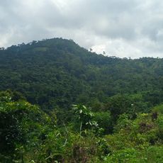
Forêt de Missahoé
55.7 km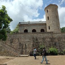
Château Viale
57 km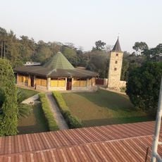
Abbaye de l'Ascension de Danyi-Dzogbegan
27.8 km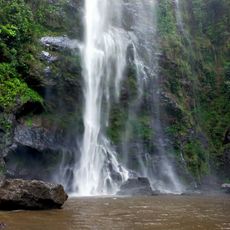
Chutes d'Yikpa
41.6 km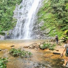
Akloa Waterfall
30.7 km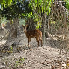
Parc Zoo de Témédja
25.7 km
Wli Falls - Lower Falls
41.7 km
Foret des chauves souris
54.4 km
Road to Golden Eye
16.5 km
Road to Agotimé
45.4 km
Natural painting center
55.6 km
German prison
57.4 km
Parade dance
32.7 km
Valleé des chauve souris
54 km
Centre Artisanal
57.7 km
Boutique la Lumière
57.8 km
Cascade de Kpimé
48 km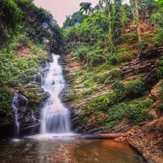
Kloto
52.7 km
Mt. Afadjato Hiking Trail
51.7 km
Wli Wasserfall - Oberer Wasserfall
41.6 km
Scenic viewpoint
42.4 km
Scenic viewpoint
37.8 km
Ferme KATI
52.3 km
Scenic viewpoint
33.7 km
Danyi road
36.2 kmReviews
Visited this place? Tap the stars to rate it and share your experience / photos with the community! Try now! You can cancel it anytime.
Discover hidden gems everywhere you go!
From secret cafés to breathtaking viewpoints, skip the crowded tourist spots and find places that match your style. Our app makes it easy with voice search, smart filtering, route optimization, and insider tips from travelers worldwide. Download now for the complete mobile experience.

A unique approach to discovering new places❞
— Le Figaro
All the places worth exploring❞
— France Info
A tailor-made excursion in just a few clicks❞
— 20 Minutes