Manjarabad Fort
Location: Sakaleshapura taluk
GPS coordinates: 12.91734,75.75843
Latest update: November 11, 2025 08:04
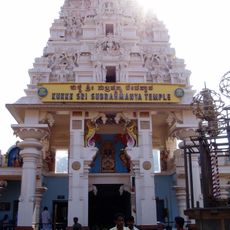
Kukke Subramanya Temple
32.9 km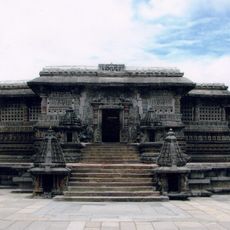
Chennakesava Temple
29.5 km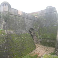
Manjarabad Fort
898 m
Shettihalli Rosary Church
28.7 km
Lakshmi Devi Temple
33.2 km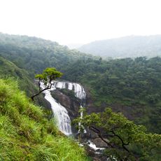
Mallalli Falls
37.3 km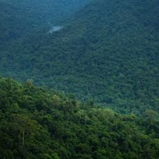
Bisle Reserve Forest
22.4 km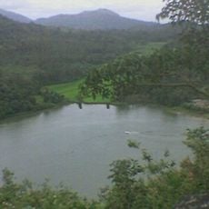
Honnamana Kere
35.5 km
Three stone built Jaina Temples standing in a Courtyard with an inscription
30.6 km
Hari Kinnigana Kere
35.6 km
Valagunda Kere
37.7 km
Ridge Point
21.3 km
Scenic viewpoint
12 km
Sowthadka Mahaganapathi Entrance arch
37.8 km
Manjarabad Fort
74 m
Mookanamane Abbe
15.3 km
Chennakesava Temple
29.5 km
Bust, Work of art
29.9 km
Scenic viewpoint
29.9 km
Scenic viewpoint
30 km
Mallalli Falls
26.6 km
Charmadi Ghati
36.3 km
Bisle Ghat View Point
24 km
Devaramane Viewpoint 1
28.5 km
Devaramane Viewpoint 2
28.9 km
Monument
29.5 km
Waterfall
35.4 km
Kumara Parvatha Waterfalls
31.4 kmVisited this place? Tap the stars to rate it and share your experience / photos with the community! Try now! You can cancel it anytime.
Discover hidden gems everywhere you go!
From secret cafés to breathtaking viewpoints, skip the crowded tourist spots and find places that match your style. Our app makes it easy with voice search, smart filtering, route optimization, and insider tips from travelers worldwide. Download now for the complete mobile experience.

A unique approach to discovering new places❞
— Le Figaro
All the places worth exploring❞
— France Info
A tailor-made excursion in just a few clicks❞
— 20 Minutes