פאמפ טראק
Location: מועצה אזורית עמק יזרעאל
GPS coordinates: 32.76305,35.22116
Latest update: November 13, 2025 00:47
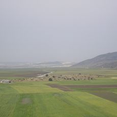
Ma'agar Bet Netofa
3.2 km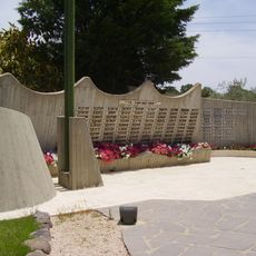
Bedouin Soldiers Memorial
2.2 km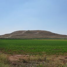
Tel Hanaton
4.2 km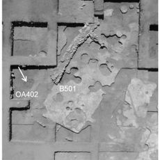
Yiftahel
1 km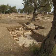
Shikhin
4.9 km
Rabbit Village at Neger Farm
3.7 km
St Anne's Church, Tzippori
5.3 km
Giv`at Zefah
5.5 km
Giv'at Bar
4.7 km
Shemurat Gush Allonim
931 m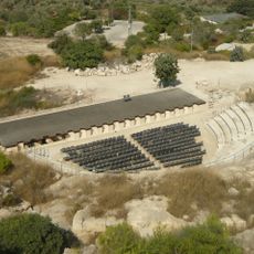
Roman theatre of Sepphoris
5.6 km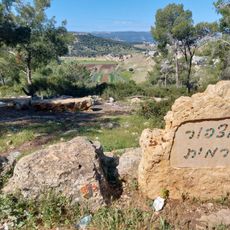
מצפור כרמית
5.4 km
Gan Le'ummi Gush Allonim (reserbasyon sa kinaiyahan sa Northern District)
1.9 km
Shemurat Ya‘ar HaSolelim
3.2 km
Shvil Parot HaChalav
3.8 km
Scenic viewpoint
5.4 km
מצפה ריש לקיש
4.1 km
מצפה אורן נח
5.5 km
Scenic viewpoint
5.5 km
Observation tower, scenic viewpoint, tower
4.6 km
Scenic viewpoint
4.7 km
Scenic viewpoint
5.5 km
Runway
3.3 km
תל חציר
4.9 km
Archaeological site
5.5 km
Archaeological site
4.9 km
קבר רבי יהודה הנשיא
5.2 km
פסיפס
5.6 kmReviews
Visited this place? Tap the stars to rate it and share your experience / photos with the community! Try now! You can cancel it anytime.
Discover hidden gems everywhere you go!
From secret cafés to breathtaking viewpoints, skip the crowded tourist spots and find places that match your style. Our app makes it easy with voice search, smart filtering, route optimization, and insider tips from travelers worldwide. Download now for the complete mobile experience.

A unique approach to discovering new places❞
— Le Figaro
All the places worth exploring❞
— France Info
A tailor-made excursion in just a few clicks❞
— 20 Minutes