
Israel Trail Library
Location: מועצה אזורית חוף הכרמל
GPS coordinates: 32.53926,34.93495
Latest update: November 13, 2025 10:12
Ramat HaNadiv
1.3 km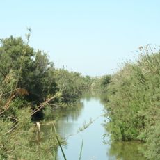
Nahal Taninim
2.1 km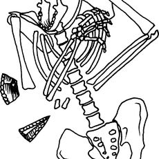
Kebara Cave
2.1 km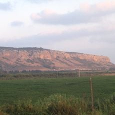
Chotem ha-Karmel
781 m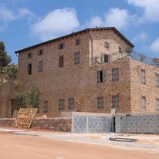
חאן זרעוניה
2 km
Tel Mevorakh
925 m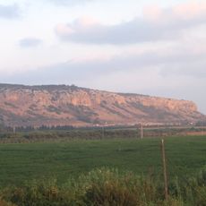
Cukej Chotem
505 m
Shemurat Naẖal Tanninim
2.1 km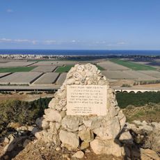
Scenic viewpoint
114 m
Shemurat H̱otem Karmel
1.2 km
Me‘arat Kevara
2.1 km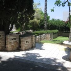
Binyamina Military Cemetery
2 km
Shemurat Berekhat Timsaẖ
1.6 km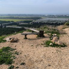
פינת חמד לנוח ולאכול עם נוף יפה לכיוון דרום
2.4 km
Chotem viewpoint
21 m
Moran Vardi
431 m
Scenic viewpoint
2 km
Scenic viewpoint
2 km
Tel Tzur monument
2.3 km
Vulture cage
2.2 km
Scenic viewpoint
473 m
מחצבת בנימינה
1.2 km
Scenic viewpoint
1.5 km
Shuney AmphiTheater
1.3 km
חורבת עקב
502 m
פינת ההנצחה לאיש השייטת מורן ורדי ז"ל
461 m
טחנת הקמח אבו נור
849 m
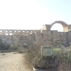
טחנות קמח ביזנטיות
2.1 kmReviews
Visited this place? Tap the stars to rate it and share your experience / photos with the community! Try now! You can cancel it anytime.
Discover hidden gems everywhere you go!
From secret cafés to breathtaking viewpoints, skip the crowded tourist spots and find places that match your style. Our app makes it easy with voice search, smart filtering, route optimization, and insider tips from travelers worldwide. Download now for the complete mobile experience.

A unique approach to discovering new places❞
— Le Figaro
All the places worth exploring❞
— France Info
A tailor-made excursion in just a few clicks❞
— 20 Minutes