Enable Location

We need your location to show you interesting places around you

Discover nearby places

Find interesting locations and hidden gems around you

Precise directions

Get accurate directions and distances to places

Your location is never shared with other users. It's only used when you tap the location button.

Log in to your account

Start exploring — it's free

Trusted by 68,102 travelers worldwide

Continue with Google
Continue with Apple
or

We will send you a code to connect

By continuing, you accept our Terms and Conditions and our Privacy Policy

Check your inbox

We've sent a pincode in your inbox. Please enter the code below.

Tel Mevorakh
Discussion Reviews Photo
1.1k Popularity

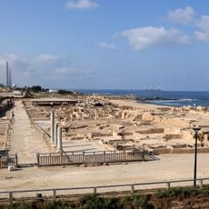
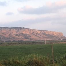
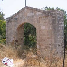
Tel Mevorakh, mountain in Israel

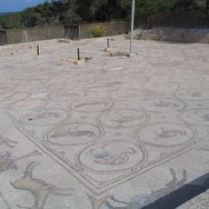
Tel Mevorakh is a small mound near the coast close to Mount Carmel that rises only slightly above the surrounding land. It contains multiple layers of remains from different periods and overlooks the sea, with the salty air from the water often drifting across the site.

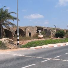
The site was first explored in the 1970s when a team from Hebrew University Jerusalem excavated it between 1973 and 1976. They uncovered over 15 layers of human occupation spanning from the Neolithic period through the Byzantine era.

The name Tel Mevorakh means "Hill of Blessing" and points to the spiritual significance this location may have held in ancient times. Here you can sense how people connected different landscapes and traded goods between the coastal areas and inland regions.

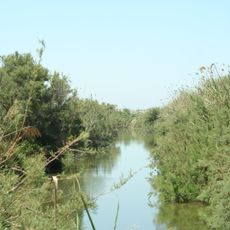
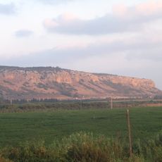
The site sits south of the Tanninim River about 2 kilometers from the current shoreline in an area where different landscapes meet. The mound itself stands about 15 meters high and offers good views of the surrounding terrain, so comfortable footwear is recommended for walking around the site.

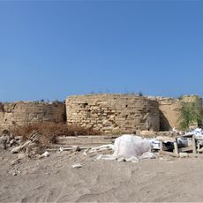
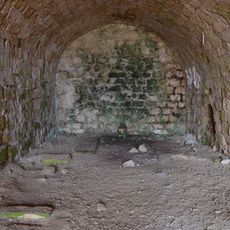
Archaeologists discovered several parallel stone walls here that likely marked room or outdoor space boundaries, along with a circular stone arrangement that may have served as a work area or support structure. These layouts provide clues about how daily life was organized spatially in this ancient settlement.

The community of curious travelers

AroundUs brings together thousands of curated places, local tips, and hidden gems, enriched daily by 60,000 contributors worldwide.

Start exploring
Location
Part of
Israeli coastal plain
GPS coordinates
32.53378,34.92754
Latest update
February 9, 2026 07:40
Reviews
Share your experience

No review yet

Discussions
Start a discussion...

No discussion yet

« Tel Mevorakh - mountain in Israel » is provided by Around Us (aroundus.com). Images and texts are derived from Wikimedia project under a Creative Commons license. You are allowed to copy, distribute, and modify copies of this page, under the conditions set by the license, as long as this note is clearly visible.

Discover hidden gems everywhere you go!

From secret cafés to breathtaking viewpoints, skip the crowded tourist spots and find places that match your style. Our app makes it easy with voice search, smart filtering, route optimization, and insider tips from travelers worldwide. Download now for the complete mobile experience.

Around Us App Screenshot

A unique approach to discovering new places

Le Figaro

All the places worth exploring

France Info

A tailor-made excursion in just a few clicks

20 Minutes

Around Us
Travel Guide & Maps
Download

Send to your phone

QR Code
1

Open the camera app on your mobile.

2

Point at the QR code with your camera. A notification will appear.

3

Tap the notification to open the link.