Enable Location

We need your location to show you interesting places around you

Discover nearby places

Find interesting locations and hidden gems around you

Precise directions

Get accurate directions and distances to places

Your location is never shared with other users. It's only used when you tap the location button.

Monk’s Trail Trailhead

Log in to your account

Start exploring — it's free

Trusted by 62,562 travelers worldwide

Continue with Google
Continue with Apple
or

We will send you a code to connect

By continuing, you accept our Terms and Conditions and our Privacy Policy

Check your inbox

We've sent a pincode in your inbox. Please enter the code below.

Monk’s Trail Trailhead

Monk’s Trail Trailhead

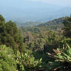
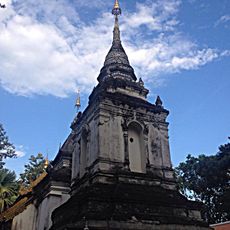
The Monk's Trail Trailhead is a hiking route near Chiang Mai that starts at a simple marked spot beside the road with parking for bikes and cars nearby. The path leads through a dense forest with shaded sections, gently climbing to Wat Pha Lat temple first, then continuing steeply upward to Wat Phra That Doi Suthep if desired.

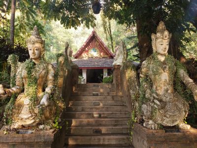
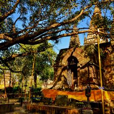
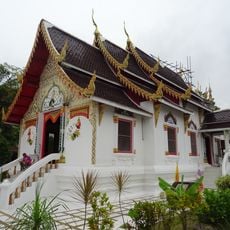
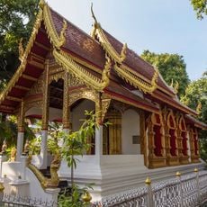
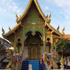
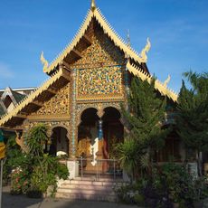
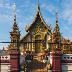
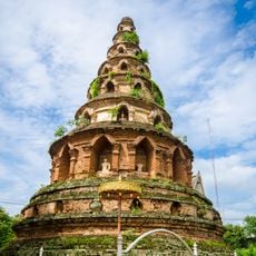
The path connects to the history of Wat Pha Lat, where legend says a white elephant carried a sacred Buddha relic in the 14th century and rested at this site. This event made the location spiritually important, and a temple was later built on the same spot.

The path was once a route for monks walking into the city for daily alms, following old traditions through the forest. Today, most monks use a road, but the trail remains a meaningful walk for hikers seeking connection with the natural and spiritual surroundings.

The best time to hike is in the cooler months from November to February, ideally in early morning hours to avoid crowds and enjoy shade. Bring water, wear sturdy shoes with good grip, and cover your shoulders and legs before entering temples; wraps are available to rent nearby.

The trail was once marked only by strips of saffron cloth tied to trees to guide monks, but these have largely disappeared over time. Today, colorful banners replace these old markers, making the path more accessible while losing some of its original mysterious charm.

The community of curious travelers

AroundUs brings together thousands of curated places, local tips, and hidden gems, enriched daily by 60,000 contributors worldwide.

Start exploring
Address
Unnamed Rd Tambon Su Thep, Amphoe Mueang Chiang Mai, Chang Wat Chiang Mai 50200, Thailand
GPS coordinates
18.79771,98.94215
Latest update
February 9, 2026 08:20
« Monk’s Trail Trailhead » is provided by Around Us (aroundus.com). Images and texts are derived from Wikimedia project under a Creative Commons license. You are allowed to copy, distribute, and modify copies of this page, under the conditions set by the license, as long as this note is clearly visible.

Discover hidden gems everywhere you go!

From secret cafés to breathtaking viewpoints, skip the crowded tourist spots and find places that match your style. Our app makes it easy with voice search, smart filtering, route optimization, and insider tips from travelers worldwide. Download now for the complete mobile experience.

Around Us App Screenshot

A unique approach to discovering new places

Le Figaro

All the places worth exploring

France Info

A tailor-made excursion in just a few clicks

20 Minutes

Around Us
Travel Guide & Maps
Download

Send to your phone

QR Code
1

Open the camera app on your mobile.

2

Point at the QR code with your camera. A notification will appear.

3

Tap the notification to open the link.