
Monk’s Trail Trailhead
Location: จังหวัดเชียงใหม่
Address: Unnamed Rd Tambon Su Thep, Amphoe Mueang Chiang Mai, Chang Wat Chiang Mai 50200, Thailand 50200 50200
GPS coordinates: 18.79771,98.94215
Latest update: May 4, 2025 23:34
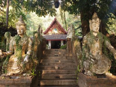

Wat Phrathat Doi Suthep
2.3 km
Wat Phra Sing
4.2 km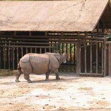
Chiang Mai Zoo
1.4 km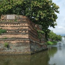
Chiang Mai city wall
4.5 km
Wat Suan Dok
2.9 km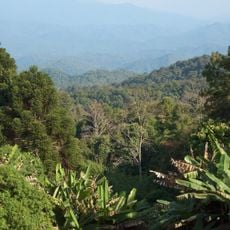
Doi Suthep-Pui National Park
3.1 km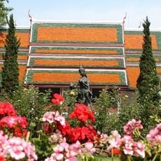
Bhubing Palace
4.8 km
Wat Lok Moli
4.3 km
Wat Chet Yot
3.4 km
Wat Pha Lat
924 m
Wat Santitham
3.9 km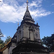
Wat Pa Daeng Maha Wihan
1.3 km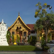
Wat Tung Yu
4.5 km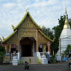
Wat Chai Prakiat
4.7 km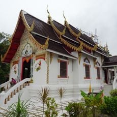
Wat Phra Chao Mengrai
4.7 km
Wat Si Koet
4.5 km
Tribal Museum
4.3 km
Buak Hard Public Park
4.3 km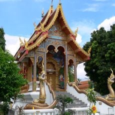
Wat Dap Phai
4.2 km
Wat Chiang Chom
4.4 km
Wat Saen Mueang Ma Luang
4.7 km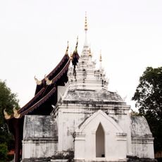
Wat Prasat
4.2 km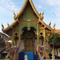
Wat Khuan Khama
4.4 km
Wat Pan Sao
4.1 km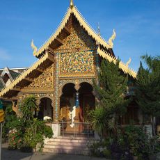
Wat Mo Kham Tuang
4.6 km
Wat Ratcha Monthian
4.3 km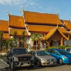
Wat Pha Bong
4.3 km
Wat Phuak Hong
4.4 kmReviews
Visited this place? Tap the stars to rate it and share your experience / photos with the community! Try now! You can cancel it anytime.
Discover hidden gems everywhere you go!
From secret cafés to breathtaking viewpoints, skip the crowded tourist spots and find places that match your style. Our app makes it easy with voice search, smart filtering, route optimization, and insider tips from travelers worldwide. Download now for the complete mobile experience.

A unique approach to discovering new places❞
— Le Figaro
All the places worth exploring❞
— France Info
A tailor-made excursion in just a few clicks❞
— 20 Minutes