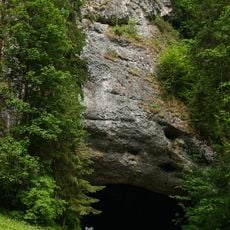
Steintor
Location: Semriach
Accessibility: Inacessível para cadeira de rodas
GPS coordinates: 47.20598,15.40011
Latest update: October 28, 2025 03:55
Lurgrotte
2.8 km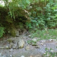
Kaltbach
254 m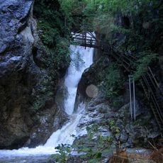
Kesselfall
122 m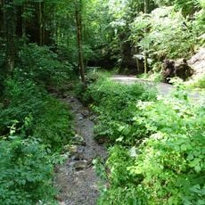
Glettbach
509 m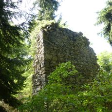
Burg Luegg
922 m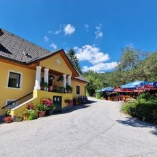
Sandwirt
494 m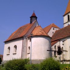
Cemetery Chapel
1.3 km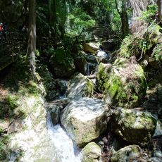
Kesselfallklamm
666 m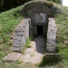
Roman grave in Semriach, Styria
1.9 km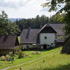
Bauernhaus Krienzer
1.7 km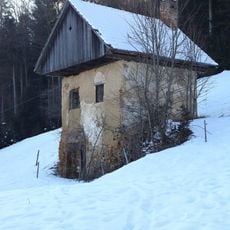
Kellerstöckl Fronkasten
1.3 km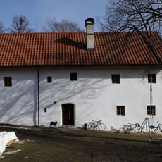
Bauernhaus vulgo Rumpl
1.3 km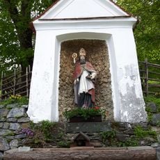
Ulrichsbrunn Quelle
2.9 km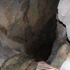
Wildemannloch
2.4 km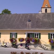
Mesnerhaus
1.3 km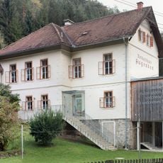
Volksschule Augraben, Semriach
2 km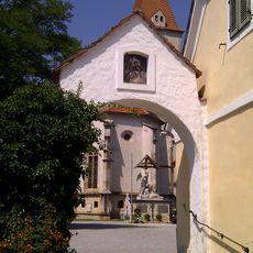
Gattertor
1.3 km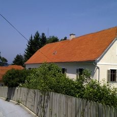
Pfarrhof
1.4 km
Scenic viewpoint
2.8 km
Scenic viewpoint
399 m
Scenic viewpoint
25 m
Lurgrotte Semriach
2.7 km
Scenic viewpoint
2.5 km
Scenic viewpoint
47 m
Scenic viewpoint
74 m
Scenic viewpoint
2.1 km
Scenic viewpoint
2.2 km
Eröffnung Kesselfallklamm-Steig
97 mReviews
Visited this place? Tap the stars to rate it and share your experience / photos with the community! Try now! You can cancel it anytime.
Discover hidden gems everywhere you go!
From secret cafés to breathtaking viewpoints, skip the crowded tourist spots and find places that match your style. Our app makes it easy with voice search, smart filtering, route optimization, and insider tips from travelers worldwide. Download now for the complete mobile experience.

A unique approach to discovering new places❞
— Le Figaro
All the places worth exploring❞
— France Info
A tailor-made excursion in just a few clicks❞
— 20 Minutes