
Roman grave in Semriach, Styria, Denkmalgeschütztes Objekt in Semriach (114829)
Location: Semriach
Address: Leiten 8102 8102
GPS coordinates: 47.21659,15.38021
Latest update: March 18, 2025 14:44

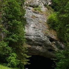
Lurgrotte
1.2 km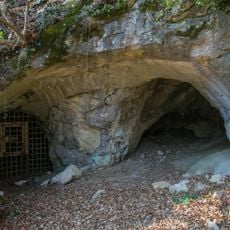
Repolusthöhle
2.8 km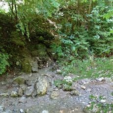
Kaltbach
2 km
Badlhöhle
2.7 km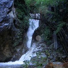
Kesselfall
1.9 km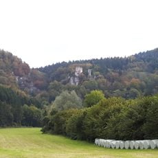
Burgruine Peggau
2.3 km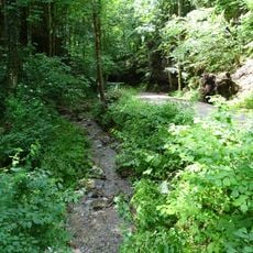
Glettbach
2.3 km
Peggauer Wand
2.6 km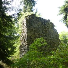
Burg Luegg
1.9 km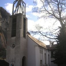
Friedenskirche, Peggau
2.8 km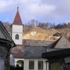
Filialkirche hl. Margaretha, Peggau
2.9 km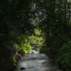
Hammerbach
2.2 km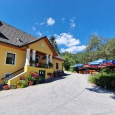
Sandwirt
2.3 km
Schmelzbach
2.2 km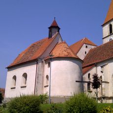
Cemetery Chapel
1.7 km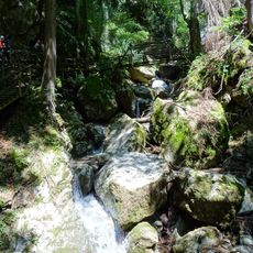
Kesselfallklamm
2.4 km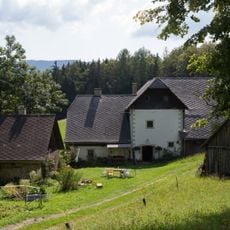
Bauernhaus Krienzer
230 m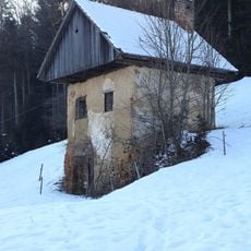
Kellerstöckl Fronkasten
713 m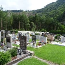
Friedhof Peggau
2.8 km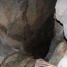
Wildemannloch
1.5 km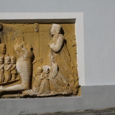
Grabstein
2.5 km
Wehranlage (Turmhügel) Badl
2.9 km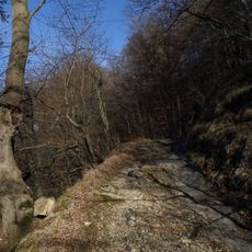
Altweg (Römerweg) oberhalb der Badlgalerie
2.9 km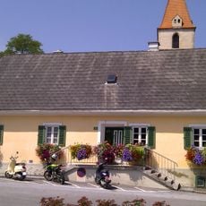
Mesnerhaus
1.7 km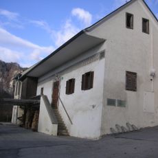
Mesnerhaus, Peggau
2.9 km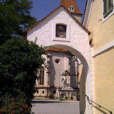
Gattertor
1.7 km
Pfarrhof
1.7 km
Fellinger-Schlössl
2.8 kmReviews
Visited this place? Tap the stars to rate it and share your experience / photos with the community! Try now! You can cancel it anytime.
Discover hidden gems everywhere you go!
From secret cafés to breathtaking viewpoints, skip the crowded tourist spots and find places that match your style. Our app makes it easy with voice search, smart filtering, route optimization, and insider tips from travelers worldwide. Download now for the complete mobile experience.

A unique approach to discovering new places❞
— Le Figaro
All the places worth exploring❞
— France Info
A tailor-made excursion in just a few clicks❞
— 20 Minutes