Originalmast und Ladegeschirr des Weserkutters Elsfleth 1
Location: Bremen-Süd
Location: Bremen
GPS coordinates: 53.10835,8.74048
Latest update: October 11, 2024 03:28
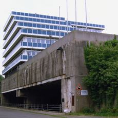
U-Boot-Bunker Hornisse
1.1 km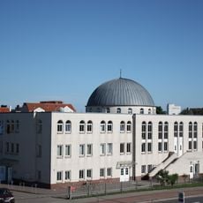
Fatih-Moschee, Bremen
1.2 km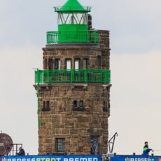
Molenfeuer Überseehafen Süd
532 m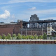
Getreideverkehrsanlage
770 m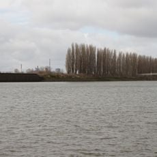
Shipyard Island, Bremen
336 m
A.G. „Weser“, Erweiterungsbau des Verwaltungsgebäudes
922 m
Cultural heritage monuments in Häfen
897 m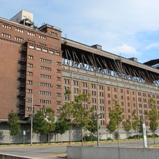
Getreideverkehrsanlage, Silo I
801 m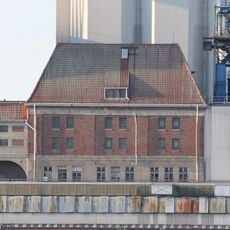
Getreideverkehrsanlage, Verwaltungsgebäude
839 m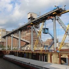
Getreideverkehrsanlage, Pier A
743 m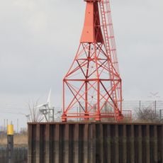
Molenfeuer Überseehafen Nord
351 m
Getreideverkehrsanlage, Maschinenhaus II
888 m
Bremen 1968 37. Änderung
484 m
Getreideverkehrsanlage, Silo II
802 m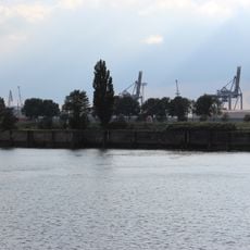
Molenhaus und Molenabschnitt
621 m
A.G. „Weser“, Verwaltungsgebäude
880 m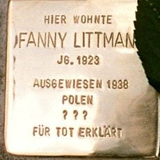
Stolperstein dedicated to Fanny Littmann
1.3 km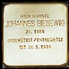
Stolperstein dedicated to Johannes Biesewig
1.2 km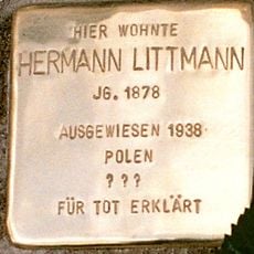
Stolperstein dedicated to Hermann Littmann
1.3 km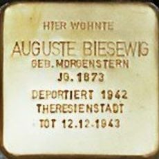
Stolperstein dedicated to Auguste Biesewig
1.2 km
Stolperstein dedicated to Richard Förster
1.2 km
Scenic viewpoint
537 m
Zum Gedenken an die auf See Gebliebenen
69 m
Schräg installierte Dampfmaschine aus dem Eimerkettenbagger "HAMBURG"
24 m
Scenic viewpoint
1 km
Kopf über
947 m
Lankenauer Höft
74 m
Seebühne
444 mReviews
Visited this place? Tap the stars to rate it and share your experience / photos with the community! Try now! You can cancel it anytime.
Discover hidden gems everywhere you go!
From secret cafés to breathtaking viewpoints, skip the crowded tourist spots and find places that match your style. Our app makes it easy with voice search, smart filtering, route optimization, and insider tips from travelers worldwide. Download now for the complete mobile experience.

A unique approach to discovering new places❞
— Le Figaro
All the places worth exploring❞
— France Info
A tailor-made excursion in just a few clicks❞
— 20 Minutes