Tillmannsdorfer Sattel
Location: Wülfrath
Website: https://de.wikipedia.org/wiki/Tillmannsdorfer_Sattel
Website: https://de.wikipedia.org/wiki/Tillmannsdorfer_Sattel
GPS coordinates: 51.25827,7.05635
Latest update: October 11, 2024 03:28
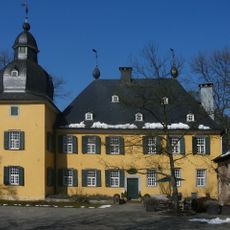
Schloss Lüntenbeck
2.1 km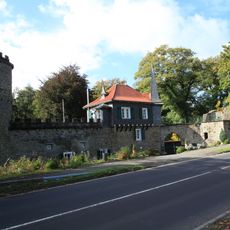
Schloss Aprath
1.9 km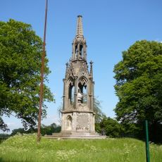
Kaiser-Wilhelm-Denkmal
2.1 km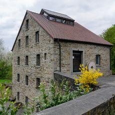
Aprath Mill
1.6 km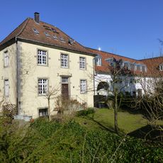
Haus Düssel
441 m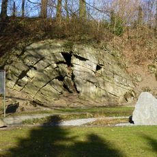
Tillmannsdorfer Sattel
5 m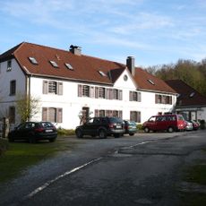
Gut Steinberg
2 km
St. Maximin
416 m
Evangelische Kirche zu Düssel
549 m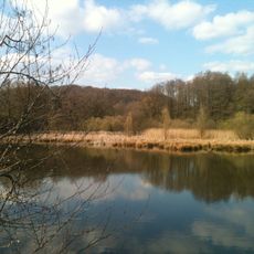
Aprather Mühlenteich
1.6 km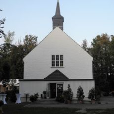
Markuskirche
2.1 km
Franzosenlinden
1.8 km
Aue des Holthauser Bachs mit Streuobstwiesen noerdlich von Vohwinkel an der Strasse Holthauser Heide
2 km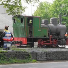
Dampflok FNr. 17418
1.4 km
LSG-Wiesenbach <Raumeinheit C>
878 m
LSG-Holzer Bach <Raumeinheit C>
1.5 km
LSG-Obmettmann-Erbach <Raumeinheit C>
1.8 km
LSG-Wiesenbach <Raumeinheit A>
1.3 km
Schloss Lüntenbeck
2.1 km
Eselsbrücke
1.5 km
Kaiser-Wilhelm-Denkmal
2.1 km
Scenic viewpoint
1.7 km
Scenic viewpoint
921 m
Prozessionskreuz
828 m
Work of art
2.1 km
Etappenstein Wülfrath
370 m
Scenic viewpoint
2.3 km
Bench, scenic viewpoint
2.4 kmReviews
Visited this place? Tap the stars to rate it and share your experience / photos with the community! Try now! You can cancel it anytime.
Discover hidden gems everywhere you go!
From secret cafés to breathtaking viewpoints, skip the crowded tourist spots and find places that match your style. Our app makes it easy with voice search, smart filtering, route optimization, and insider tips from travelers worldwide. Download now for the complete mobile experience.

A unique approach to discovering new places❞
— Le Figaro
All the places worth exploring❞
— France Info
A tailor-made excursion in just a few clicks❞
— 20 Minutes