Wülfrath, Urban municipality in Mettmann district, Germany.
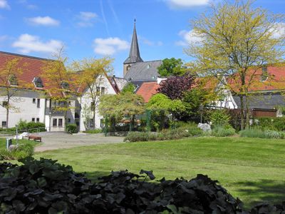
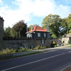
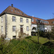
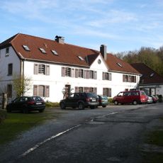
Wülfrath is a medium-sized town in Mettmann district, North Rhine-Westphalia, spanning roughly 32 square kilometers of land. The town sits between the Rhine, Ruhr, and Wupper rivers and combines rural character with urban facilities like schools and public services.
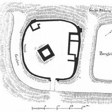
The settlement began around 713 AD when a settler named Wolf cleared land in the area, which later became known as Wolverothe by around 1100. This founding story shows how a single person's name shaped the town's identity across centuries.
The Potato Fair in September and Duke William's Market in November bring the community together to celebrate seasonal harvests and regional traditions. These events reflect how the town maintains a connection to its agricultural roots and local identity.
The town has schools from primary through secondary level, including Grundschule Ellenbeek and Städtisches Gymnasium that serve local students. Visitors will find a functioning network of public services and facilities that meet the community's everyday needs.
The town's coat of arms shows a medieval shepherd defending against a wolf, referencing the etymological link to the town's name. This symbol remains visible throughout the city and serves as a reminder of the legendary founding story.
Location: Mettmann
Elevation above the sea: 262 m
Shares border with: Wuppertal, Velbert, Neviges, Velbert-Mitte, Heiligenhaus
Website: https://wuelfrath.net
GPS coordinates: 51.28333,7.03333
Latest update: December 13, 2025 15:51
Nevigeser Wallfahrtsdom
5 km
Schloss Hardenberg
5.2 km
Schloss Aprath
2.9 km
Kaiser-Wilhelm-Denkmal
3 km
St. Mariä Empfängnis
5.1 km
Aprath Mill
2.8 km
Haus Düssel
2.9 km
Burg Hardenberg
4.6 km
Franziskanerkloster Hardenberg-Neviges
5 km
Villa Petershall
4.5 km
Tillmannsdorfer Sattel
3.2 km
Gut Steinberg
3.7 km
St. Maximin
2.9 km
Evangelische Kirche zu Düssel
2.8 km
Niederbergisches Museum
344 m
Schlupkothen
2.3 km
Jüdischer Friedhof Neviges
6.2 km
Evangelische Kirche Tönisheide
4.3 km
Aprather Mühlenteich
2.8 km
Grube Prangenhaus
1.2 km
Evangelische Stadtkirche
5 km
Markuskirche
4.8 km
LSG-Schlupkothen-Lohbach <Raumeinheit C>
3.3 km
LSG-Suedlich Eigenerbach-Klaerteich <Raumeinheit C>
2.2 km
LSG-Asbach/Vossnacken <Raumeinheit C>
4 km
LSG-Eigenbachtal mit Nebentaelchen und Obstwiesen
4.4 km
LSG-Anger/Laubecker Bach <Raumeinheit A>
3.7 km
LSG-Toenisheide Sued <Raumeinheit C>
3.7 kmVisited this place? Tap the stars to rate it and share your experience / photos with the community! Try now! You can cancel it anytime.
Discover hidden gems everywhere you go!
From secret cafés to breathtaking viewpoints, skip the crowded tourist spots and find places that match your style. Our app makes it easy with voice search, smart filtering, route optimization, and insider tips from travelers worldwide. Download now for the complete mobile experience.
A unique approach to discovering new places❞
— Le Figaro
All the places worth exploring❞
— France Info
A tailor-made excursion in just a few clicks❞
— 20 Minutes