Hausrind
Location: Bremen-West
Location: Bremen
Operator: H. u. B. Kaemena GbR
GPS coordinates: 53.15320,8.83868
Latest update: November 21, 2025 11:28

Metalhenge
4.3 km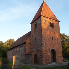
Blockland
2.4 km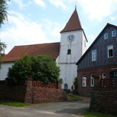
Church of St. Jürgen
3.3 km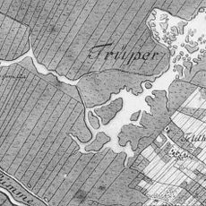
Truper Blänken
2.2 km
Hochschulring
4.3 km
St.-Marien-Kirche
4.2 km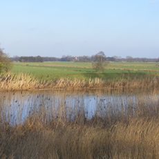
Untere Wümme
357 m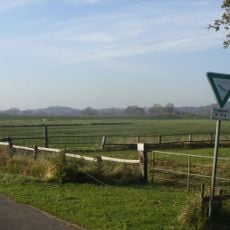
Untere Wümme
2.3 km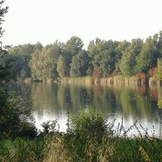
Kuhgrabensee
4 km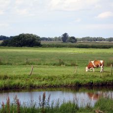
Blockland - Burgdammer Wiesen
3 km
Hollerland
4.4 km
Truper Blänken
2.4 km
Kuhgrabensee
4 km
Westliches Hollerland
4.2 km
Untere Wümme
1.8 km
Truper Blänken
2.5 km
Blockland
1.7 km
Zentrales Blockland
2.8 km
Gans
58 m
Kälber
65 m
Zwerghühner
74 m
Freilichtbühne
4 km
Biohof Kaemena
132 m
Janoss Wetterstation
2.6 km
Scenic viewpoint
3.8 km
Scenic viewpoint
4 km
Alte Schleuse
4.2 km
Jan-Reiners-Brücke
4.3 kmReviews
Visited this place? Tap the stars to rate it and share your experience / photos with the community! Try now! You can cancel it anytime.
Discover hidden gems everywhere you go!
From secret cafés to breathtaking viewpoints, skip the crowded tourist spots and find places that match your style. Our app makes it easy with voice search, smart filtering, route optimization, and insider tips from travelers worldwide. Download now for the complete mobile experience.

A unique approach to discovering new places❞
— Le Figaro
All the places worth exploring❞
— France Info
A tailor-made excursion in just a few clicks❞
— 20 Minutes