
Truper Blänken, protected landscape in Lower Saxony, Germany
Location: Osterholz
Inception: 1968
GPS coordinates: 53.15530,8.87497
Latest update: June 10, 2025 16:14

Universum Science Center
5.8 km
Fallturm Bremen
5.2 km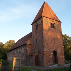
Blockland
4.8 km
Borgfeld
3.9 km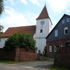
Church of St. Jürgen
5.1 km
Lilienthal Observatory
3 km
Wikingborg
4.4 km
Borgfelder Wümmewiesen
4.9 km
Kloster Lilienthal
2.9 km
Sender Leher Feld
5.4 km
Am Stadtwaldsee (Uni-Wildnis)
5.3 km
Elefantenmuseum Lilienthal
2.7 km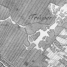
Truper Blänken
211 m
Kirche in Borgfeld
3.8 km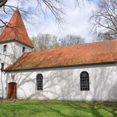
St.-Marien-Kirche
2.4 km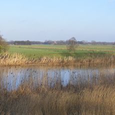
Untere Wümme
2.4 km
Simón-Bolívar-Büste
5.5 km
Murkens Hof
3.1 km
Pablo-Neruda-Büste
5.5 km
Untere Wümme
4.6 km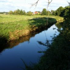
Untere Wörpe
5.8 km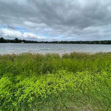
FKK-Strand
5.6 km
Kaisenbüste
3.9 km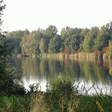
Kuhgrabensee
4.6 km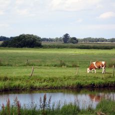
Blockland - Burgdammer Wiesen
5.4 km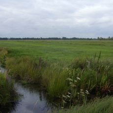
Hollerland
4.1 km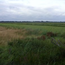
Hollerland
4 km
Kuhgrabensee
4.6 kmReviews
Visited this place? Tap the stars to rate it and share your experience / photos with the community! Try now! You can cancel it anytime.
Discover hidden gems everywhere you go!
From secret cafés to breathtaking viewpoints, skip the crowded tourist spots and find places that match your style. Our app makes it easy with voice search, smart filtering, route optimization, and insider tips from travelers worldwide. Download now for the complete mobile experience.

A unique approach to discovering new places❞
— Le Figaro
All the places worth exploring❞
— France Info
A tailor-made excursion in just a few clicks❞
— 20 Minutes