Sperrins landscape
Location: Northern Ireland / Tuaisceart Éireann
GPS coordinates: 54.79825,-7.08270
Latest update: November 23, 2025 09:36
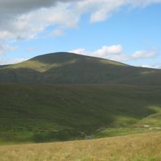
Sawel Mountain
3.7 km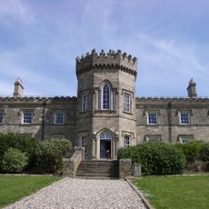
Dungiven Castle
17.5 km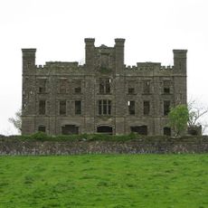
Altinaghree Castle
13.9 km
Aughlish
11.2 km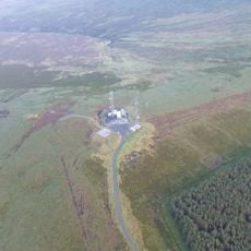
Mullaghcarn
16 km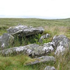
Clogherny Meenerrigal
10.2 km
Wedge Tomb von Tireighter
7.2 km
Straidarran House Clagan Road Claudy Co Londonderry Bt47 4db
10.2 km
Beltrim Castle 86 Killymore Road Gortin Co Tyrone Bt79 8pl
13.2 km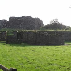
Banagher Old Church
14.5 km
An Creagán
16.1 km
Birds in Flight
17.6 km
Aghascrebagh (Ogham Site)
11.2 km
Court Tomb von Cloghmore
10.2 km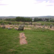
Beaghmore
14.2 km
Gortin Glen Forest Park
16.5 km
Sport
16.7 km
Davagh Giant
13.5 km
Fungi Ring
17 km
St. Canice Hall
17.6 km
Statue, Work of art
17.6 km
Scenic viewpoint
17.9 km
Scenic viewpoint
1.8 km
Scenic viewpoint
16 km
Waterfall
17.8 km
Waterfall
12.5 km
Ness Waterfall Highest Waterfall In Northern Ireland
17.9 km
Waterfall
16.6 kmReviews
Visited this place? Tap the stars to rate it and share your experience / photos with the community! Try now! You can cancel it anytime.
Discover hidden gems everywhere you go!
From secret cafés to breathtaking viewpoints, skip the crowded tourist spots and find places that match your style. Our app makes it easy with voice search, smart filtering, route optimization, and insider tips from travelers worldwide. Download now for the complete mobile experience.

A unique approach to discovering new places❞
— Le Figaro
All the places worth exploring❞
— France Info
A tailor-made excursion in just a few clicks❞
— 20 Minutes