Витоки Білої Тиси
Location: Богданська сільська громада
GPS coordinates: 47.96351,24.53927
Latest update: October 27, 2025 18:19
Chorna Hora
11.4 km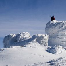
Carpathian National Nature Park
11.4 km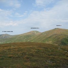
Menchul
14.8 km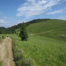
Stóg
1.9 km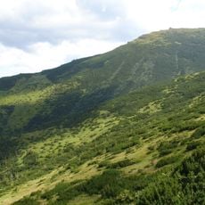
Smotrych
14.1 km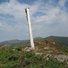
Dzembronia
13.5 km
Vârful Farcău - Lacul Vinderelu - Vârful Mihăilecu
9.7 km
Farcău
8.1 km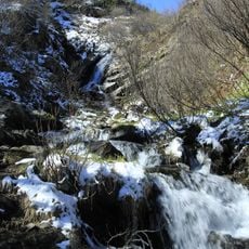
Dzembronski Waterfalls
14.9 km
Marmaros protected massif
14.7 km
Neniska Velyka
5 km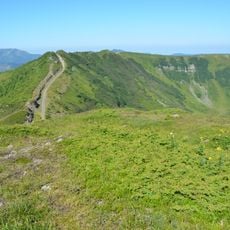
Neniska Mała
5.6 km
Hoverlianka Reserve
9.8 km
Redyskul
11.8 km
Rhododendron
9.6 km
Вид на Національний парк Марамуреш
6.6 km
Залишки кляузи Балцатул
10.7 km
Installation artwork, Work of art
11.5 km
Витоки Білої Тиси
717 m
Скелі Смерті
7.7 km
Scenic viewpoint
9.6 km
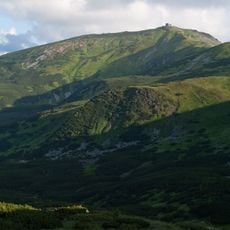
Вигляд на Чорногору
949 m
Scenic viewpoint
14.3 km
Вухатий Камінь. Місця капищ давніх слов'ян
14.2 km
Scenic viewpoint
13.6 km
Південна частина Чорногорського хребта
12.1 km
Scenic viewpoint
13.7 km
Гарний вигляд на ПІЧ
7.7 kmReviews
Visited this place? Tap the stars to rate it and share your experience / photos with the community! Try now! You can cancel it anytime.
Discover hidden gems everywhere you go!
From secret cafés to breathtaking viewpoints, skip the crowded tourist spots and find places that match your style. Our app makes it easy with voice search, smart filtering, route optimization, and insider tips from travelers worldwide. Download now for the complete mobile experience.

A unique approach to discovering new places❞
— Le Figaro
All the places worth exploring❞
— France Info
A tailor-made excursion in just a few clicks❞
— 20 Minutes