Waldgärtli
Location: Röthenbach im Emmental
GPS coordinates: 46.86525,7.73785
Latest update: November 21, 2025 09:04
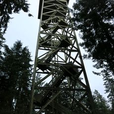
Chuderhüsi Tower
1.5 km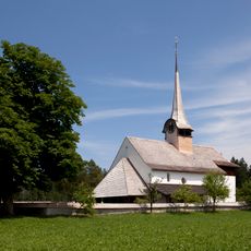
Würzbrunnen church
203 m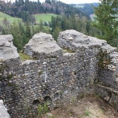
Alt-Signau, medieval castle ruin
4.5 km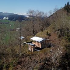
Neu-Signau Castle
5.4 km
Aeschau bridge - Part Eggiwil
5.2 km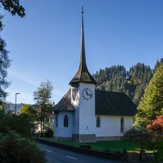
Reformed church with rectory
4.5 km
Chnubel
5 km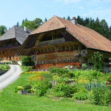
Inner-Zimmertsei farm
4.4 km
Chnubel
5.2 km
Aeschau bridge - Part Signau
5.2 km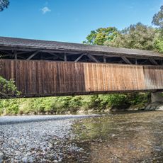
Aeschau bridge across the Emme
5.2 km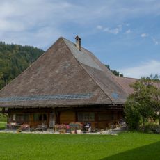
Farmhouse
5.3 km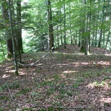
Pig hill
4.9 km
Fuchsegg
2.4 km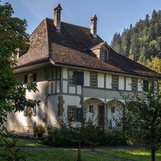
Rectory
4.5 km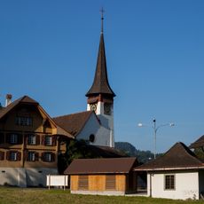
Reformed church
1.2 km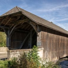
Horben bridge across the Emme
4.7 km
Gabelspitz Alp
5.5 km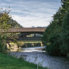
Dieboldswil bridge across the Emme
4.8 km
Leenhubel
5.4 km
Benediktinerpriorat Röthenbach, Schweiz
203 m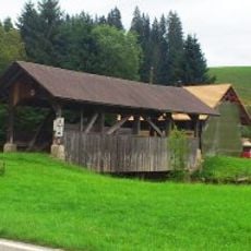
Früetisei bridge crossing the Röthenbach river
4 km
Farmhouse (1753)
4.3 km
Scenic viewpoint
4.1 km
Scenic viewpoint
4.9 km
Scenic viewpoint
3.3 km
Scenic viewpoint
3.5 km
Scenic viewpoint
1.5 kmReviews
Visited this place? Tap the stars to rate it and share your experience / photos with the community! Try now! You can cancel it anytime.
Discover hidden gems everywhere you go!
From secret cafés to breathtaking viewpoints, skip the crowded tourist spots and find places that match your style. Our app makes it easy with voice search, smart filtering, route optimization, and insider tips from travelers worldwide. Download now for the complete mobile experience.

A unique approach to discovering new places❞
— Le Figaro
All the places worth exploring❞
— France Info
A tailor-made excursion in just a few clicks❞
— 20 Minutes