Teeter Creek Trail
Location: Northern Rockies Regional Municipality
GPS coordinates: 59.45142,-126.23419
Latest update: November 1, 2025 15:17
Nahanni National Park Reserve
239.8 km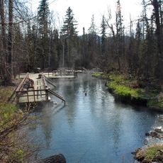
Liard River Hot Springs Provincial Park
11.1 km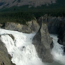
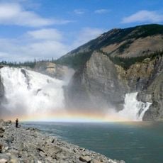
Virginia Falls
241.5 km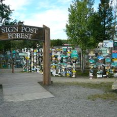
Sign Post Forest
154.9 km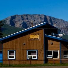
Nahanni Butte
236.4 km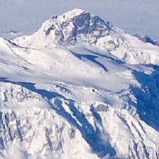
King Peak
158 km
Northern Rocky Mountains Provincial Park
176.9 km
Muncho Lake Provincial Park
34 km
Stone Mountain Provincial Park
128.7 km
Mount Ulysses
265.5 km
Spatsizi Plateau Wilderness Provincial Park
262.1 km
Stikine River Provincial Park
232.7 km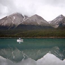
Redfern-Keily Provincial Park
261.1 km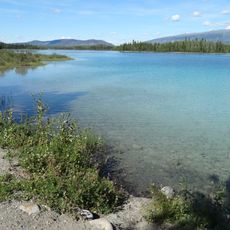
Tā Ch’ilā Provincial Park
161.5 km
Finlay-Russel Provincial Park
213.6 km
Scenic viewpoint
52.2 km
Boulder Canyon Trail
47.5 km
Tower, Observation tower, scenic viewpoint
186.1 km
Mineral Lick Trail
37.7 km
Liard river
81.1 km
Scenic viewpoint
124.9 km
Hoodoos
129.2 km
Scenic viewpoint
61.5 km
Scenic viewpoint
61.6 km
Viewpoint Beaver dam
162.1 km
Scenic viewpoint
133.4 km
Scenic viewpoint
228.3 km
Scenic viewpoint
167.2 kmReviews
Visited this place? Tap the stars to rate it and share your experience / photos with the community! Try now! You can cancel it anytime.
Discover hidden gems everywhere you go!
From secret cafés to breathtaking viewpoints, skip the crowded tourist spots and find places that match your style. Our app makes it easy with voice search, smart filtering, route optimization, and insider tips from travelers worldwide. Download now for the complete mobile experience.

A unique approach to discovering new places❞
— Le Figaro
All the places worth exploring❞
— France Info
A tailor-made excursion in just a few clicks❞
— 20 Minutes