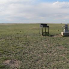
Nebraska Historical Marker
Location: Kimball County
GPS coordinates: 41.18991,-103.86900
Latest update: November 21, 2025 08:48
Panorama Point
24.4 km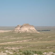
Pawnee Buttes
41.7 km
Hawk Springs State Recreation Area
64.1 km
Bighorn Mountain
48.2 km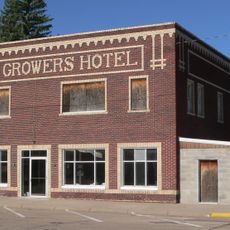
Wheat Growers Hotel
18.3 km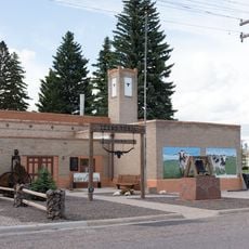
Texas Trail Museum
16.9 km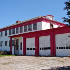
Sioux Ordnance Depot Fire & Guard Headquarters
64.1 km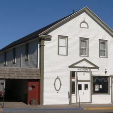
Fraternal Hall
18 km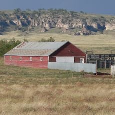
C.C. Hampton Homestead
53.6 km
Albin
39.6 km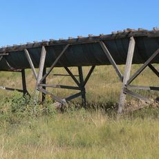
Maginnis Irrigation Aqueduct
8.8 km
Langs Point
58.8 km
Bear Rock
62.9 km
Pine Bluffs
21.9 km
Airdale Dam Number 1
54.7 km
Chalk Bluffs
62.1 km
Anderson Dam
38.7 km
Toedtli Reservoir
37.2 km
Oliver Reservoir
5.7 km
Scenic viewpoint
42.8 km
Abandoned Drive In
19.2 km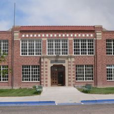
Pine Bluffs High School
16.6 km
The Point
63.7 km
Welcome to Potter
46.2 km
Scenic viewpoint
60.1 km
Scenic viewpoint
60.2 km
Prairie Pines Golf Course
45.6 km
Nature Trail
17.4 kmReviews
Visited this place? Tap the stars to rate it and share your experience / photos with the community! Try now! You can cancel it anytime.
Discover hidden gems everywhere you go!
From secret cafés to breathtaking viewpoints, skip the crowded tourist spots and find places that match your style. Our app makes it easy with voice search, smart filtering, route optimization, and insider tips from travelers worldwide. Download now for the complete mobile experience.

A unique approach to discovering new places❞
— Le Figaro
All the places worth exploring❞
— France Info
A tailor-made excursion in just a few clicks❞
— 20 Minutes