Pumpkin Cannon
Location: Frederick County
GPS coordinates: 39.59005,-77.37962
Latest update: November 16, 2025 23:40
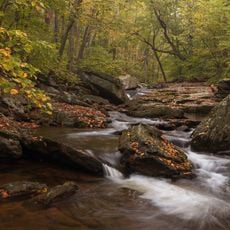
Cunningham Falls State Park
6.2 km
Catoctin Wildlife Preserve and Zoo
4.4 km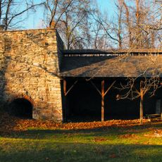
Catoctin Furnace
4.9 km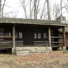
Camp Misty Mount Historic District
8.3 km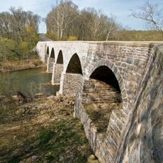
LeGore Bridge
5.7 km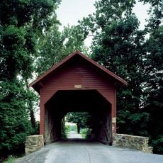
Roddy Road Covered Bridge
5.8 km
Utica Covered Bridge
7.4 km
Strawberry Hill
3.1 km
Graceham Moravian Church and Parsonage
2.9 km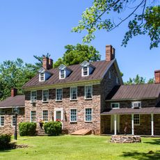
Pennterra
4 km
Woods Mill Farm
8.6 km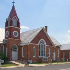
St. John's Church at Creagerstown Historic District
2 km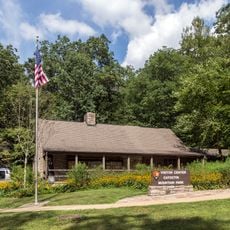
Catoctin Mountain Park Visitor Center
7.8 km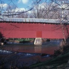
Loys Station Covered Bridge
3.2 km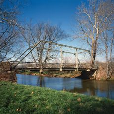
Old Mill Road Bridge
3.8 km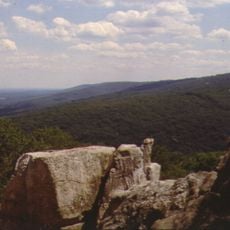
Chimney Rock
6.3 km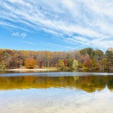
South Beach
8.2 km
Lawyers Farm Corn Maze
270 m
Glade Valley Golf Club
8.5 km
Catoctin Furnace
4.8 km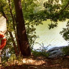
Hunting Creek Lake
8 km
Statue, Work of art
8.6 km
North Bob's Hill Overlook
6.5 km
Scenic viewpoint
6.5 km
South Bob's Hill Overlook
6.5 km
Thurmont Vista
8 km
Chimney Rock
6.3 km
White Rock
6.7 kmReviews
Visited this place? Tap the stars to rate it and share your experience / photos with the community! Try now! You can cancel it anytime.
Discover hidden gems everywhere you go!
From secret cafés to breathtaking viewpoints, skip the crowded tourist spots and find places that match your style. Our app makes it easy with voice search, smart filtering, route optimization, and insider tips from travelers worldwide. Download now for the complete mobile experience.

A unique approach to discovering new places❞
— Le Figaro
All the places worth exploring❞
— France Info
A tailor-made excursion in just a few clicks❞
— 20 Minutes