Frederick County

Log in to your account

AroundUs is a community-driven map of interesting places, built by curious explorers like you. It grows with every review, story, and photo you share.
Connect to save your favorite spots, contribute locations, and create personalized routes.
Continue with Google
Continue with Apple
Continue with X
Continue with Facebook
Continue with email
By continuing, you accept our Terms and Conditions and our Privacy Policy
Create an account
Add to collection
Map
Suggest a change
Share

Frederick County, Administrative county in Maryland, US

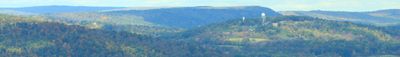
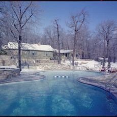
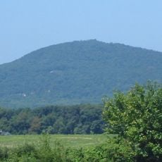
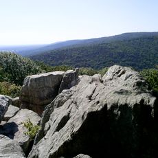
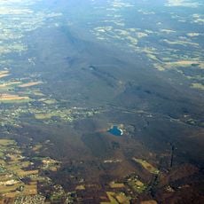
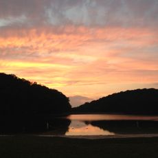
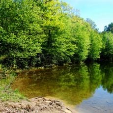
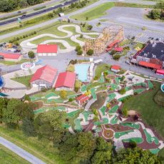
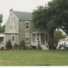
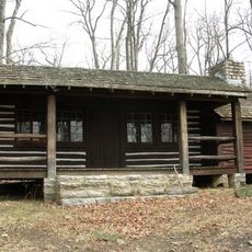
Frederick County is an administrative division in Maryland that extends between the Piedmont Plateau and the Appalachian Mountains, covering both the Catoctin Mountain and South Mountain ranges. The area combines rolling hills with forested zones and open valleys, where farms and smaller towns shape the countryside.

The county formed in 1748 when it separated from Prince George's County to organize the growing frontier area. Further divisions in 1776 led to the creation of Washington County in the west and Montgomery County in the south, while the northern portion remained Frederick.

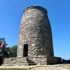
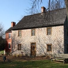
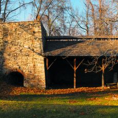
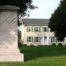
The county takes its name from Frederick Calvert, the sixth Lord Baltimore who once governed colonial Maryland. Many towns preserve German roots from the eighteenth century, visible in church buildings and dialect variations that early settlers brought here.

Highway connections lead into the region from Baltimore and Washington, and journeys are best planned outside rush hours. The hilly terrain requires appropriate footwear and some basic fitness for walks or cycling routes.

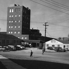
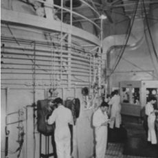
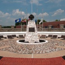
The area hosts the largest federal cancer research laboratory, engaged in biomedical studies and attracting professionals from many countries. Dairy farms produce roughly one third of the state's entire milk output, shaping local agriculture in a lasting way.

Location: Maryland

Inception: 1748

Capital city: Frederick

Shares border with: Adams County, Carroll County, Howard County, Franklin County, Montgomery County, Washington County, Loudoun County

Website: http://FrederickCountyMD.gov

GPS coordinates: 39.47000,-77.40000

Latest update: December 13, 2025 18:27

Photos
Around this place
Camp David
United States of America

Camp David

20.6 km
Hood College
United States of America

Hood College

5.5 km
Cunningham Falls State Park
United States of America

Cunningham Falls State Park

15 km
Sugar Loaf Mountain
United States of America

Sugar Loaf Mountain

23.1 km
Catoctin Mountain
United States of America

Catoctin Mountain

20.7 km
South Mountain
United States of America

South Mountain

19.4 km
South Mountain State Park
United States of America

South Mountain State Park

19.5 km
Washington Monument State Park
United States of America

Washington Monument State Park

19.5 km
Building 470
United States of America

Building 470

4.8 km
National Shrine of St. Elizabeth Ann Seton
United States of America

National Shrine of St. Elizabeth Ann Seton

26 km
Greenbrier State Park
United States of America

Greenbrier State Park

20.6 km
One-Million-Liter Test Sphere
United States of America

One-Million-Liter Test Sphere

4.7 km
Gathland State Park
United States of America

Gathland State Park

22 km
Rose Hill Manor
United States of America

Rose Hill Manor

3.8 km
Gambrill State Park
United States of America

Gambrill State Park

7.9 km
United States of America

Pen Mar Park

29 km
Crystal Grottoes
United States of America

Crystal Grottoes

24 km
Monocacy Aqueduct
United States of America

Monocacy Aqueduct

27.8 km
Schifferstadt
United States of America

Schifferstadt

5.7 km
Adventure Park USA
United States of America

Adventure Park USA

14.5 km
St. Joseph's College and Mother Seton Shrine
United States of America

St. Joseph's College and Mother Seton Shrine

25.9 km
Catoctin Wildlife Preserve and Zoo
United States of America

Catoctin Wildlife Preserve and Zoo

13.8 km
Quirauk Mountain
United States of America

Quirauk Mountain

27 km
Catoctin Furnace
United States of America

Catoctin Furnace

12.2 km
Carrollton Manor
United States of America

Carrollton Manor

17.3 km
National Fallen Firefighters Memorial
United States of America

National Fallen Firefighters Memorial

25.8 km
Camp Misty Mount Historic District
United States of America

Camp Misty Mount Historic District

19.6 km
Terra Rubra
United States of America

Terra Rubra

21.6 km
Show the full map
Reviews

Visited this place? Tap the stars to rate it and share your experience / photos with the community! Try now! You can cancel it anytime.

« Frederick County - Administrative county in Maryland, US » is provided by Around Us (aroundus.com). Images and texts are derived from Wikimedia project under a Creative Commons license. You are allowed to copy, distribute, and modify copies of this page, under the conditions set by the license, as long as this note is clearly visible.

Discover hidden gems everywhere you go!

From secret cafés to breathtaking viewpoints, skip the crowded tourist spots and find places that match your style. Our app makes it easy with voice search, smart filtering, route optimization, and insider tips from travelers worldwide. Download now for the complete mobile experience.

Around Us App Screenshot

A unique approach to discovering new places

Le Figaro

All the places worth exploring

France Info

A tailor-made excursion in just a few clicks

20 Minutes