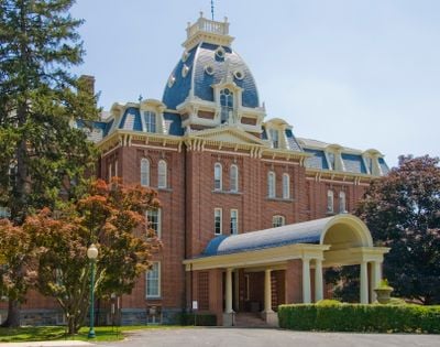
St. Joseph's College and Mother Seton Shrine, Catholic education complex in Emmitsburg, US
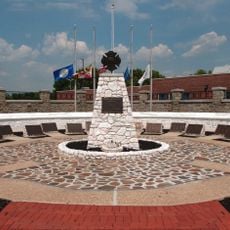
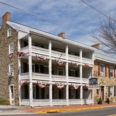
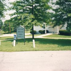
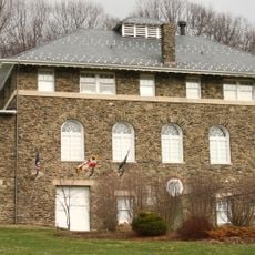
St. Joseph's College and Mother Seton Shrine is a historic district listed on the National Register of Historic Places in Emmitsburg, Maryland, with a basilica, historic buildings, and museum spaces. The site sits at the edge of the Appalachian foothills and holds several structures from the 18th and 19th centuries directly tied to the life of Elizabeth Ann Seton.
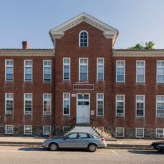
Elizabeth Ann Seton established St. Joseph's Academy here in 1809, making it the first free Catholic school for girls in the United States. Over the following decades, the site grew with new buildings and became a center of Catholic education in the country.
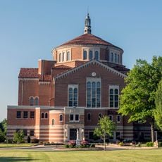
The shrine is dedicated to Elizabeth Ann Seton, who in 1975 became the first person born in America to be canonized. Visitors can walk through the rooms where she lived and taught, getting a sense of how the early community organized daily life.
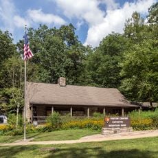
The grounds are open and easy to walk, though seeing several buildings takes more time than a quick visit. A visitor center offers orientation, and guided tours help make sense of the different structures and their connection to the site's story.
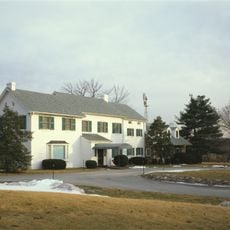
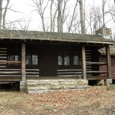
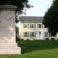
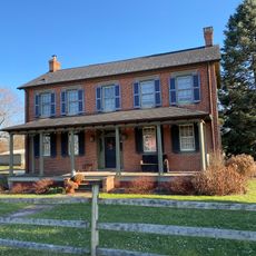
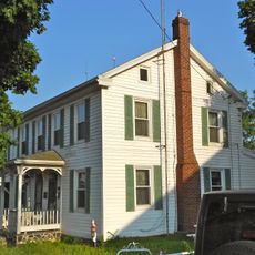
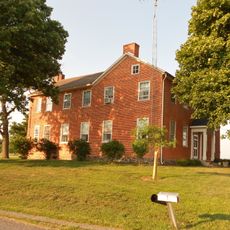
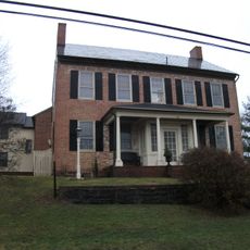
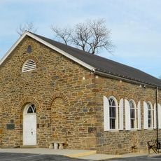
The Stone House, built around 1750, and the White House, dating to 1810, are both original homes where Elizabeth Ann Seton actually lived, not later reconstructions. Walking through both gives a direct sense of how her living conditions changed over time at this site.
The community of curious travelers
AroundUs brings together thousands of curated places, local tips, and hidden gems, enriched daily by 60,000 contributors worldwide.