Enable Location

We need your location to show you interesting places around you

Discover nearby places

Find interesting locations and hidden gems around you

Precise directions

Get accurate directions and distances to places

Your location is never shared with other users. It's only used when you tap the location button.

Fairfield Historic District

Log in to your account

Start exploring — it's free

Trusted by 62,446 travelers worldwide

Continue with Google
Continue with Apple
or

We will send you a code to connect

By continuing, you accept our Terms and Conditions and our Privacy Policy

Check your inbox

We've sent a pincode in your inbox. Please enter the code below.

Fairfield Historic District, listed on the NRHP in Pennsylvania

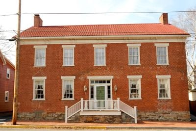
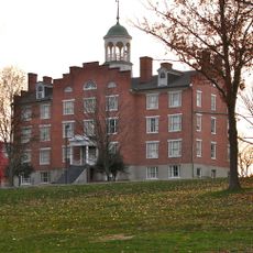
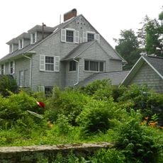
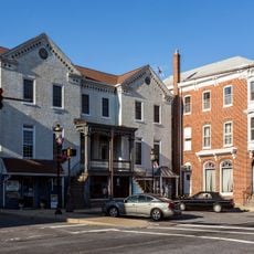
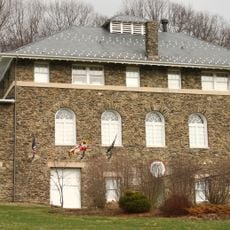
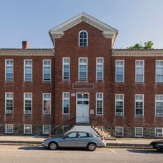
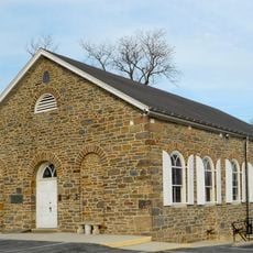
Fairfield Historic District is a neighborhood in Pennsylvania with more than 100 buildings made primarily of stone and wood, dating from the late 1700s to the mid-1800s. The area covers about 170 acres and includes homes, small shops, churches, and farms featuring Greek Revival and Renaissance Revival architectural styles.

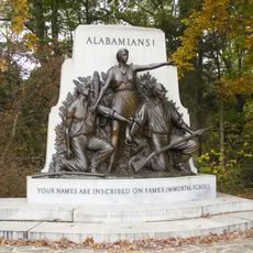
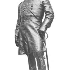
The John Miller Manor House built in 1797 marks the early origins of this settlement during America's founding era. The region also played a role during the Civil War period, with some homes serving as field hospitals after nearby battles.

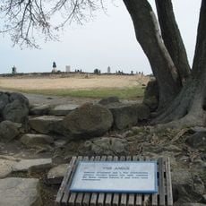
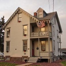
The name Fairfield refers to the open, productive fields that once defined the area. Today visitors can see in the well-maintained houses and churches how generations of families lived here and shaped the community.

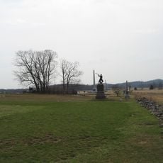
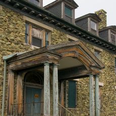
The district invites walking on quiet streets where you can observe architectural details like columns and broad porches. The simple street layout makes orientation easy, and good weather allows best for exploring this historic area on foot.

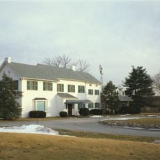
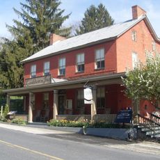
The Fairfield Inn is a historic hotel within the district boundaries that has served visitors for many years, making it an integral part of the town's story. Many houses preserve old photographs showing how the town grew and changed across generations.

The community of curious travelers

AroundUs brings together thousands of curated places, local tips, and hidden gems, enriched daily by 60,000 contributors worldwide.

Start exploring
Location
Architectural style
Greek Revival architecture, Renaissance Revival architecture
GPS coordinates
39.79330,-77.36940
Latest update
February 9, 2026 11:07
Around this place
High-water mark of the Confederacy
United States of America

High-water mark of the Confederacy

11.6 km
Eisenhower National Historic Site
United States of America

Eisenhower National Historic Site

9.1 km
The Angle
United States of America

The Angle

11.6 km
Sachs Covered Bridge
United States of America

Sachs Covered Bridge

8 km
National Shrine of St. Elizabeth Ann Seton
United States of America

National Shrine of St. Elizabeth Ann Seton

11.1 km
The Pennsylvania State Memorial
United States of America

The Pennsylvania State Memorial

11.6 km
St. Joseph's College and Mother Seton Shrine
United States of America

St. Joseph's College and Mother Seton Shrine

11.7 km
National Fallen Firefighters Memorial
United States of America

National Fallen Firefighters Memorial

11.6 km
72nd Pennsylvania Infantry Monument
United States of America

72nd Pennsylvania Infantry Monument

11.6 km
McPherson Ridge
United States of America

McPherson Ridge

11.5 km
High Water Mark of the Rebellion Monument
United States of America

High Water Mark of the Rebellion Monument

11.6 km
Virginia Monument
United States of America

Virginia Monument

10.4 km
Cashtown Inn
United States of America

Cashtown Inn

10.2 km
North Carolina Monument
United States of America

North Carolina Monument

10.8 km
Fairfield Inn
United States of America

Fairfield Inn

1.3 km
11th Mississippi Infantry Monument
United States of America

11th Mississippi Infantry Monument

10.9 km
Schmucker Hall
United States of America

Schmucker Hall

11.5 km
Victor Cullen Center, Old Administration Building
United States of America

Victor Cullen Center, Old Administration Building

11.8 km
Alabama State Monument
United States of America

Alabama State Monument

9.9 km
Jacks Mountain Covered Bridge
United States of America

Jacks Mountain Covered Bridge

3.3 km
Monterey Historic District
United States of America

Monterey Historic District

10.7 km
Winfield Scott Hancock
United States of America

Winfield Scott Hancock

11.6 km
Emmitsburg Historic District
United States of America

Emmitsburg Historic District

10.4 km
Sheads House
United States of America

Sheads House

11.7 km
Victor Cullen School Power House
United States of America

Victor Cullen School Power House

11.8 km
Bridge in Cumberland Township
United States of America

Bridge in Cumberland Township

8.2 km
St. Euphemia's School and Sisters' House
United States of America

St. Euphemia's School and Sisters' House

10.5 km
Lower Marsh Creek Presbyterian Church
United States of America

Lower Marsh Creek Presbyterian Church

3.7 km
Show the full map
« Fairfield Historic District - listed on the NRHP in Pennsylvania » is provided by Around Us (aroundus.com). Images and texts are derived from Wikimedia project under a Creative Commons license. You are allowed to copy, distribute, and modify copies of this page, under the conditions set by the license, as long as this note is clearly visible.

Discover hidden gems everywhere you go!

From secret cafés to breathtaking viewpoints, skip the crowded tourist spots and find places that match your style. Our app makes it easy with voice search, smart filtering, route optimization, and insider tips from travelers worldwide. Download now for the complete mobile experience.

Around Us App Screenshot

A unique approach to discovering new places

Le Figaro

All the places worth exploring

France Info

A tailor-made excursion in just a few clicks

20 Minutes

Around Us
Travel Guide & Maps
Download

Send to your phone

QR Code
1

Open the camera app on your mobile.

2

Point at the QR code with your camera. A notification will appear.

3

Tap the notification to open the link.