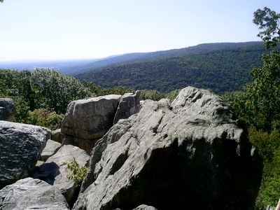
Catoctin Mountain, Mountain and summit in Frederick County, Maryland.
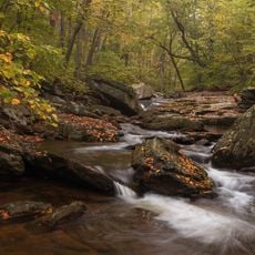
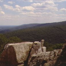
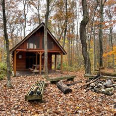
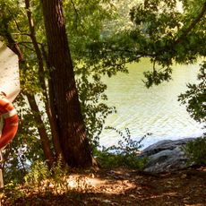
Catoctin Mountain is a ridge that extends across the region as part of the Blue Ridge Mountains and rises to about 1,880 feet (570 m) in elevation. Multiple trails of varying difficulty wind through the slopes, offering options for different types of hikers.
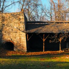
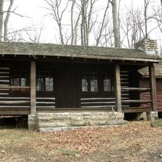
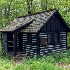
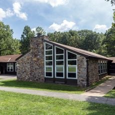
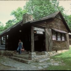
During the Great Depression, government programs brought workers to the mountain to build trails, shelters, and facilities that still stand today. This development transformed the area from wilderness into a managed landscape that people could explore.
The mountain's name comes from an indigenous group that once hunted in this area, and their connection to the landscape remains part of the local identity. Walking through the trails, you can sense how integral these ridges were to the people who lived here long ago.
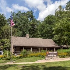
A visitor center offers trail maps and information to help you plan your hike, with parking available at multiple spots around the mountain. Bring water and wear good hiking shoes, since the paths can be rocky and steep in places.
The ridge is home to Camp David, a restricted presidential retreat that has been used by United States leaders for decades and hosted significant political decisions. Though visitors cannot reach this area, knowing it lies hidden within the forest adds an intriguing layer to the landscape.
The community of curious travelers
AroundUs brings together thousands of curated places, local tips, and hidden gems, enriched daily by 60,000 contributors worldwide.