Enable Location

We need your location to show you interesting places around you

Discover nearby places

Find interesting locations and hidden gems around you

Precise directions

Get accurate directions and distances to places

Your location is never shared with other users. It's only used when you tap the location button.

Shirley Heights, Antigua and Barbuda

Log in to your account

Start exploring — it's free

Trusted by 62,603 travelers worldwide

Continue with Google
Continue with Apple
or

We will send you a code to connect

By continuing, you accept our Terms and Conditions and our Privacy Policy

Check your inbox

We've sent a pincode in your inbox. Please enter the code below.

Shirley Heights, Antigua and Barbuda

Shirley Heights, Antigua and Barbuda, Military complex and lookout point in English Harbour, Antigua and Barbuda.

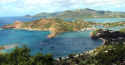
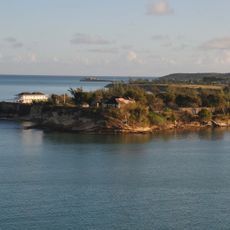
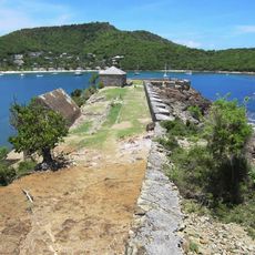
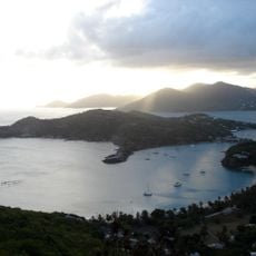
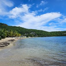
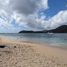
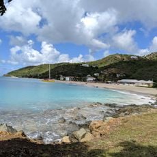
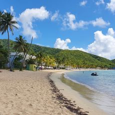
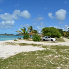
Shirley Heights is an elevated military compound featuring stone fortifications, gun batteries, and defensive structures positioned roughly 490 feet above the Caribbean Sea overlooking English Harbour. The site includes a cemetery, blockhouse ruins, and a lookout area all connected by walking paths across the grounds.

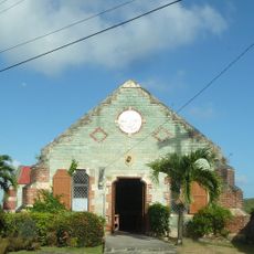
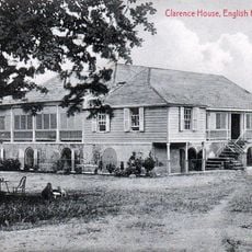
The British military established this complex in 1781 under Governor Thomas Shirley to defend naval operations at English Harbour against French attacks. It served as a strategic defense site during colonial rivalries in the Caribbean region.

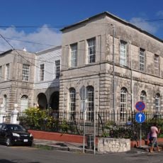
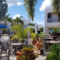
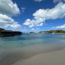
The former military guardhouse now serves as a restaurant where local steel bands perform Caribbean music during weekly Sunday gatherings. These events have become a central way visitors and locals experience the island's musical traditions together.

The site is accessible on foot through maintained walking paths that connect different areas across the grounds. Visitors should bring water and wear comfortable shoes, as the terrain is uneven and the sun can be intense.

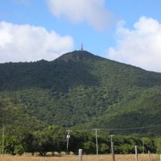
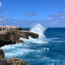
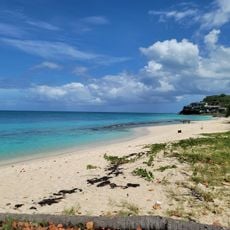
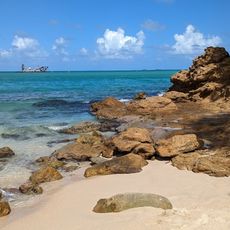
The signal station offers far-reaching views to neighboring islands Montserrat and Guadeloupe on clear days across the open sea. These vistas demonstrate why this was chosen as an observation post for monitoring ship movements in the waters below.

The community of curious travelers

AroundUs brings together thousands of curated places, local tips, and hidden gems, enriched daily by 60,000 contributors worldwide.

Start exploring
Part of
Antigua Naval Dockyard and Related Archaeological Sites
GPS coordinates
17.00255,-61.75450
Latest update
December 8, 2025 19:49
« Shirley Heights, Antigua and Barbuda - Military complex and lookout point in English Harbour, Antigua and Barbuda » is provided by Around Us (aroundus.com). Images and texts are derived from Wikimedia project under a Creative Commons license. You are allowed to copy, distribute, and modify copies of this page, under the conditions set by the license, as long as this note is clearly visible.

Discover hidden gems everywhere you go!

From secret cafés to breathtaking viewpoints, skip the crowded tourist spots and find places that match your style. Our app makes it easy with voice search, smart filtering, route optimization, and insider tips from travelers worldwide. Download now for the complete mobile experience.

Around Us App Screenshot

A unique approach to discovering new places

Le Figaro

All the places worth exploring

France Info

A tailor-made excursion in just a few clicks

20 Minutes

Around Us
Travel Guide & Maps
Download

Send to your phone

QR Code
1

Open the camera app on your mobile.

2

Point at the QR code with your camera. A notification will appear.

3

Tap the notification to open the link.