Enable Location

We need your location to show you interesting places around you

Discover nearby places

Find interesting locations and hidden gems around you

Precise directions

Get accurate directions and distances to places

Your location is never shared with other users. It's only used when you tap the location button.

Antigua and Barbuda

Log in to your account

Start exploring — it's free

Trusted by 62,594 travelers worldwide

Continue with Google
Continue with Apple
or

We will send you a code to connect

By continuing, you accept our Terms and Conditions and our Privacy Policy

Check your inbox

We've sent a pincode in your inbox. Please enter the code below.

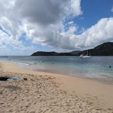
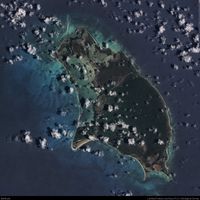
Antigua and Barbuda, Caribbean nation between Atlantic Ocean and Caribbean Sea

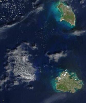
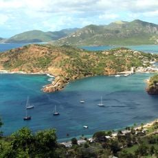
Antigua and Barbuda is an island nation in the eastern Caribbean Sea, comprising the two main islands plus the smaller uninhabited Redonda. The territory lies in the northern Lesser Antilles, with both main islands forming a Commonwealth monarchy that gained sovereignty in the early 1980s.

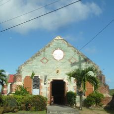
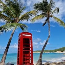
Indigenous peoples including the Arawak and later the Kalinago lived on the islands until European sailors arrived in the late 15th century. Britain took control in the 17th century and maintained it until independence in November 1981.

Cricket shapes social life across both islands and the national team regularly contributes players to the West Indies squad, with Sir Vivian Richards regarded as one of cricketing history's finest batsmen.

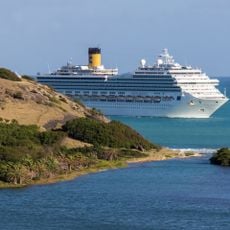
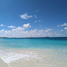
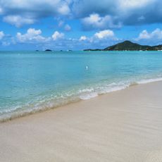
The international airport lies about five miles northeast of the capital St. John's and offers direct flights to North America and Europe. Ferries connecting the islands depart from Heritage Quay, and the driest months run from December through April.

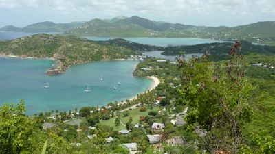
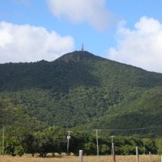
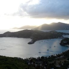
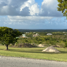
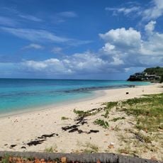
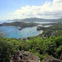
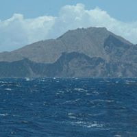
A volcanic peak on Antigua rises to 402 meters and forms the highest point across the entire territory, while Barbuda stays flat and never exceeds 38 meters above sea level. The contrast between the hilly landscape of one island and the level ground of the other defines the twin-island geography.

The community of curious travelers

AroundUs brings together thousands of curated places, local tips, and hidden gems, enriched daily by 60,000 contributors worldwide.

Start exploring
Location
Inception
November 1, 1981
Capital city
Saint John's
Part of
Commonwealth of Nations, Lesser Antilles, Caribbean
Shares border with
United Kingdom
Address
Antigua and Barbuda
GPS coordinates
17.22347,-61.95546
Latest update
December 14, 2025 18:25
« Antigua and Barbuda - Caribbean nation between Atlantic Ocean and Caribbean Sea » is provided by Around Us (aroundus.com). Images and texts are derived from Wikimedia project under a Creative Commons license. You are allowed to copy, distribute, and modify copies of this page, under the conditions set by the license, as long as this note is clearly visible.

Discover hidden gems everywhere you go!

From secret cafés to breathtaking viewpoints, skip the crowded tourist spots and find places that match your style. Our app makes it easy with voice search, smart filtering, route optimization, and insider tips from travelers worldwide. Download now for the complete mobile experience.

Around Us App Screenshot

A unique approach to discovering new places

Le Figaro

All the places worth exploring

France Info

A tailor-made excursion in just a few clicks

20 Minutes

Around Us
Travel Guide & Maps
Download

Send to your phone

QR Code
1

Open the camera app on your mobile.

2

Point at the QR code with your camera. A notification will appear.

3

Tap the notification to open the link.