
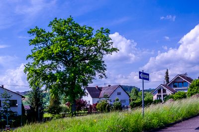
Eiche in Walding, natural monument of Upper Austria, Austria
Location: Urfahr-Umgebung District
GPS coordinates: 48.35330,14.15999
Latest update: April 1, 2025 23:26
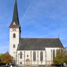
Parish church Sankt Ägidius
2.6 km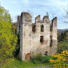
Rottenegg Castle
2.3 km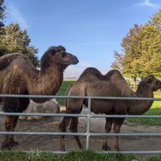
Tiergarten Walding
1.8 km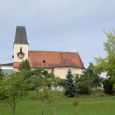
Pfarrkirche Walding
181 m
Schloßbühel Schwarzgrub
1.4 km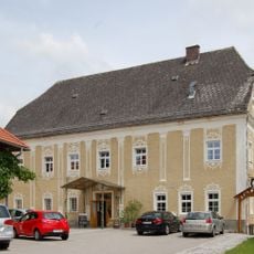
Wirt z' Walding
303 m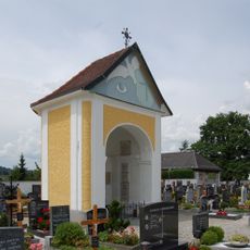
Friedhofskapelle Walding
94 m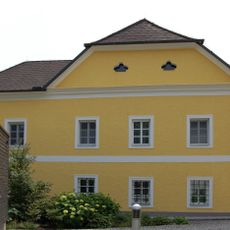
Pfarrhof Walding
177 m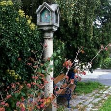
Bäckersäule
2.3 km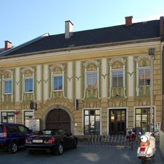
Marktplatz 22 (Ottensheim)
2.7 km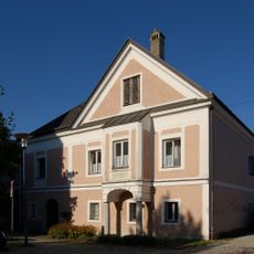
Pfarrhof Ottensheim
2.6 km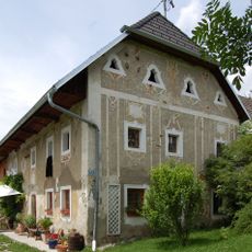
Feldmetzgerhaus
902 m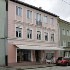
Wohn- und Geschäftshaus, Apotheke, Gürtlerhaus Nr. 67
2.7 km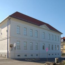
Hauptschule Ottensheim
2.5 km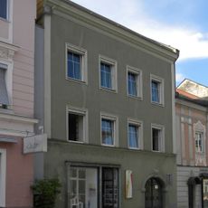
Wohn- und Geschäftshaus, Kronpichlhaus Nr. 66
2.7 km
Wohnhaus, Weberhaus Nr. 59
2.7 km
Wohnhaus
2.6 km
Linzer Straße 17
2.7 km
Fleischerhäusel
2.5 km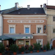
Marktplatz 25
2.7 km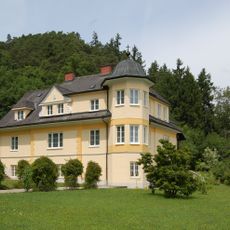
Exerzitienhaus und Erholungsheim St. Raphael
1.2 km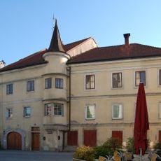
Marktplatz 26
2.6 km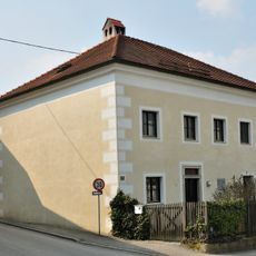
Wohnhaus, ehem. Bürgerspital
2.5 km
Marktplatz 24 (Ottensheim)
2.7 km
Marktplatz 2
2.7 km
Wohnhaus
2.7 km
Wohn- und Geschäftshaus
2.7 km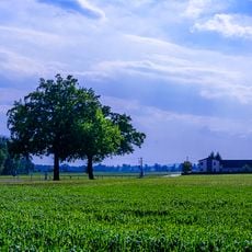
Zwei Stieleichen von Lindham
2.5 kmReviews
Visited this place? Tap the stars to rate it and share your experience / photos with the community! Try now! You can cancel it anytime.
Discover hidden gems everywhere you go!
From secret cafés to breathtaking viewpoints, skip the crowded tourist spots and find places that match your style. Our app makes it easy with voice search, smart filtering, route optimization, and insider tips from travelers worldwide. Download now for the complete mobile experience.

A unique approach to discovering new places❞
— Le Figaro
All the places worth exploring❞
— France Info
A tailor-made excursion in just a few clicks❞
— 20 Minutes