Sentier Littoral, Cerbère - Argelès-sur-Mer

Log in to your account

AroundUs is a community-driven map of interesting places, built by curious explorers like you. It grows with every review, story, and photo you share.
Connect to save your favorite spots, contribute locations, and create personalized routes.
By continuing, you accept our Terms and Conditions and our Privacy Policy

Sentier Littoral, Cerbère - Argelès-sur-Mer

Add to collection
Map
Suggest a change
Share

Sentier Littoral, Cerbère - Argelès-sur-Mer, Mediterranean coastal hiking trail from Cerbère to Argelès-sur-Mer, France

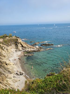
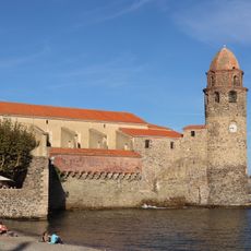
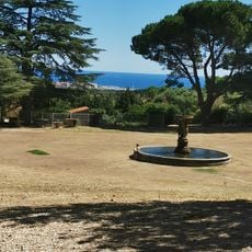
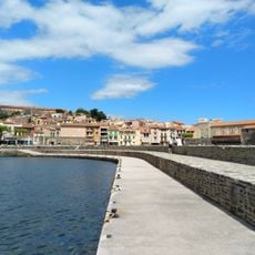
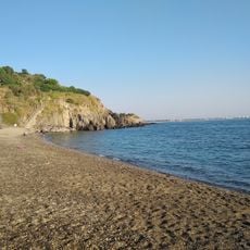
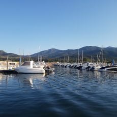
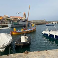
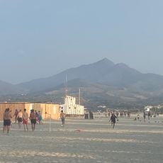
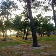
The Sentier Littoral is a coastal hiking trail spanning about 32 kilometers from Cerbère to Argelès-sur-Mer, connecting sandy beaches, sheltered coves, and traditional fishing villages. The route runs along rocky cliffs and past vineyards, weaving through towns like Collioure and Banyuls-sur-Mer.

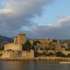
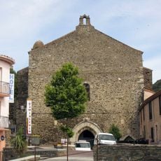
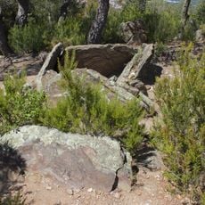
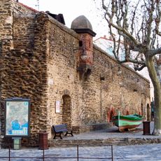
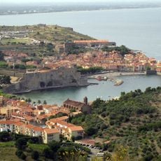
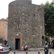
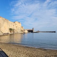
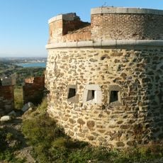
The trail runs past military defenses built over centuries, including the Royal Castle of Collioure from the 13th century, which protected this border region. This coastline was contested between France and Spain for a long time, shaping the fortifications still visible today.

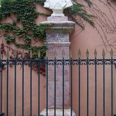
The trail passes through Banyuls-sur-Mer, birthplace of sculptor Aristide Maillol, and winds past vineyards that have shaped local identity for generations. Walking here, you see how wine production and coastal living remain deeply connected to daily life in the region.

The trail can be tackled in sections thanks to a low-cost bus service with stops along the route, allowing you to return without retracing your steps. Wear comfortable hiking shoes and bring plenty of water, as shade is scarce along much of the path.

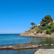
Along the way sits the protected Cerbère-Banyuls marine reserve with designated diving spots where you can observe underwater life in clear water. This area was established to protect natural coastal ecosystems and offers visitors a chance to experience the sea directly.

Location: Port-Vendres

Address: Route du Littoral, 66700 Argelès-sur-Mer, France

GPS coordinates: 42.53552,3.05839

Latest update: December 6, 2025 19:04

Photos
What to see and do in Argelès-sur-Mer and its surroundings?

Argelès-sur-Mer sits between the Mediterranean and the Pyrenees, combining beach life with medieval history. The town preserves traces of its past through the Tour de la Massane, a 13th-century watchtower, and the Mémorial des Camps, which commemorates the Spanish Civil War refugee camps. The Église...

Reviews

Visited this place? Tap the stars to rate it and share your experience / photos with the community! Try now! You can cancel it anytime.

« Sentier Littoral, Cerbère - Argelès-sur-Mer - Mediterranean coastal hiking trail from Cerbère to Argelès-sur-Mer, France » is provided by Around Us (aroundus.com). Images and texts are derived from Wikimedia project under a Creative Commons license. You are allowed to copy, distribute, and modify copies of this page, under the conditions set by the license, as long as this note is clearly visible.

Discover hidden gems everywhere you go!

From secret cafés to breathtaking viewpoints, skip the crowded tourist spots and find places that match your style. Our app makes it easy with voice search, smart filtering, route optimization, and insider tips from travelers worldwide. Download now for the complete mobile experience.

Around Us App Screenshot

A unique approach to discovering new places

Le Figaro

All the places worth exploring

France Info

A tailor-made excursion in just a few clicks

20 Minutes