Enable Location

We need your location to show you interesting places around you

Discover nearby places

Find interesting locations and hidden gems around you

Precise directions

Get accurate directions and distances to places

Your location is never shared with other users. It's only used when you tap the location button.

Cité Plantagenêt

Log in to your account

Start exploring — it's free

Trusted by 62,466 travelers worldwide

Continue with Google
Continue with Apple
or

We will send you a code to connect

By continuing, you accept our Terms and Conditions and our Privacy Policy

Check your inbox

We've sent a pincode in your inbox. Please enter the code below.

Cité Plantagenêt

Cité Plantagenêt, Medieval neighborhood in Le Mans, France

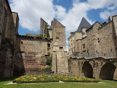
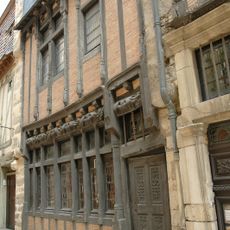
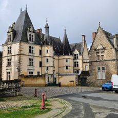
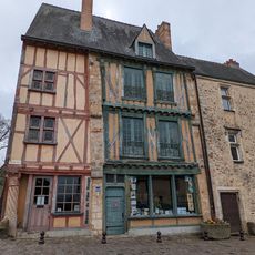
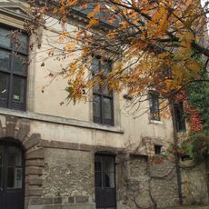
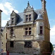
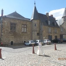
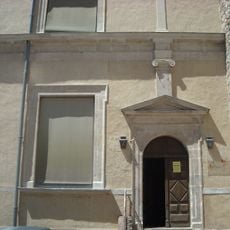
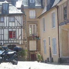
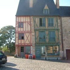
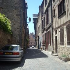
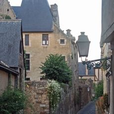
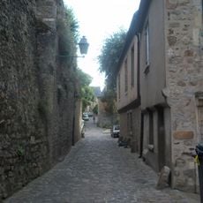
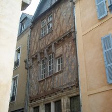
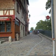
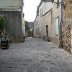
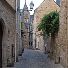
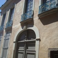
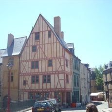
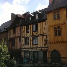
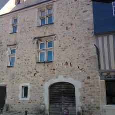
Cité Plantagenêt is a residential neighborhood in Le Mans with medieval street patterns where narrow cobblestone alleys run between timber-framed houses and Renaissance palaces all enclosed by ancient Roman walls. The area spans multiple blocks and displays layers of construction from different periods, from early stone buildings to later half-timbered structures.

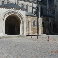
The neighborhood developed around Geoffrey Plantagenet's connection to Le Mans in the 12th century, when he linked the Angevin dynasty to the region. The town walls date from Roman times and were reinforced during the medieval period, showing how the site served as a fortified center across centuries.

The neighborhood takes its name from Geoffrey Plantagenet, whose family shaped the region's identity and power. Walking through the narrow lanes today, you can feel how the medieval layout still reflects the social order of that time, with grander homes near the cathedral and simpler dwellings toward the edges.

The neighborhood is easily walkable on foot and the streets are paved, making it comfortable to explore, though sturdy footwear is recommended for the cobblestones. Several viewpoints dot the walls and street corners where you can pause to take in the surroundings and get oriented.

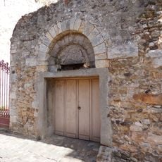
Beneath the medieval buildings lie underground cellars and passages that originated from Roman structures and remain partially accessible today. These hidden spaces reveal how earlier residents adapted ancient foundations for their own purposes.

The community of curious travelers

AroundUs brings together thousands of curated places, local tips, and hidden gems, enriched daily by 60,000 contributors worldwide.

Start exploring
Location
Address
Vieux Chemin du Mans, 72100 Le Mans, France
Phone
GPS coordinates
48.00884,0.19719
Latest update
December 6, 2025 17:46
City guide of Le Mans

Le Mans draws visitors with layers of history spread across centuries. You can walk through streets where medieval buildings stand alongside Roman walls, visit a soaring Gothic cathedral filled with colored light from ancient glass, and explore museums housing everything from Egyptian treasures to...

« Cité Plantagenêt - Medieval neighborhood in Le Mans, France » is provided by Around Us (aroundus.com). Images and texts are derived from Wikimedia project under a Creative Commons license. You are allowed to copy, distribute, and modify copies of this page, under the conditions set by the license, as long as this note is clearly visible.

Discover hidden gems everywhere you go!

From secret cafés to breathtaking viewpoints, skip the crowded tourist spots and find places that match your style. Our app makes it easy with voice search, smart filtering, route optimization, and insider tips from travelers worldwide. Download now for the complete mobile experience.

Around Us App Screenshot

A unique approach to discovering new places

Le Figaro

All the places worth exploring

France Info

A tailor-made excursion in just a few clicks

20 Minutes

Around Us
Travel Guide & Maps
Download

Send to your phone

QR Code
1

Open the camera app on your mobile.

2

Point at the QR code with your camera. A notification will appear.

3

Tap the notification to open the link.