Campfire Circle
Location: French Creek Township
GPS coordinates: 41.46461,-80.00552
Latest update: November 19, 2025 11:00
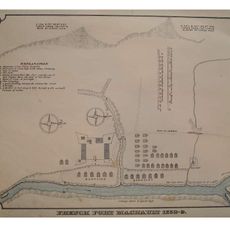
Fort Machault
17.7 km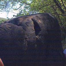
Indian God Rock
21.3 km
Fort Venango
17.4 km
Maurice K. Goddard State Park
12.3 km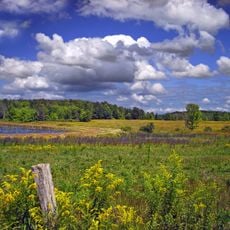
Erie National Wildlife Refuge
18.5 km
Tri-City Speedway
18.8 km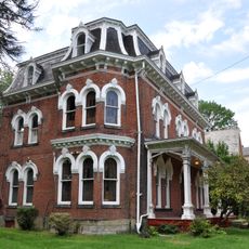
Samuel F. Dale House
16.1 km
State Game Lands Number 39
17.5 km
Eighth Street Bridge
17.7 km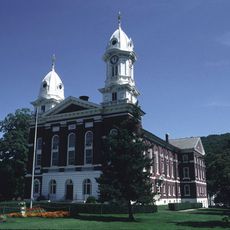
Franklin Historic District
16.6 km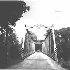
Bridge in French Creek Township
1.3 km
Bridge over French Creek in West Mead Township
18.4 km
Oil Region Astronomical Observatory
18.5 km
Miller-Sibley Field
15.9 km
Conneaut Marsh Reservoir
15.1 km
State Game Lands Number 270
16.3 km
State Game Lands Number 69
21.3 km
Twomile Run County Park
19.6 km
State Game Lands Number 130
15.5 km
State Game Lands Number 213
20.7 km
Tamarack Lake
16.6 km
Mt Hope Golf Course
15.5 km
De-Un-Da-Ga Arbor
259 m
Stage
13.8 km
Coria Jacobs Gallery LLC
16.5 km
Scenic viewpoint
19.5 km
Scenic viewpoint
19.3 km
Scenic viewpoint
19.3 kmReviews
Visited this place? Tap the stars to rate it and share your experience / photos with the community! Try now! You can cancel it anytime.
Discover hidden gems everywhere you go!
From secret cafés to breathtaking viewpoints, skip the crowded tourist spots and find places that match your style. Our app makes it easy with voice search, smart filtering, route optimization, and insider tips from travelers worldwide. Download now for the complete mobile experience.

A unique approach to discovering new places❞
— Le Figaro
All the places worth exploring❞
— France Info
A tailor-made excursion in just a few clicks❞
— 20 Minutes