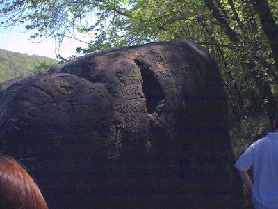
Indian God Rock, Archaeological site in Rockland Township, Pennsylvania, United States.
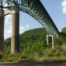
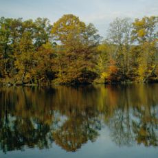
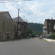
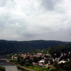
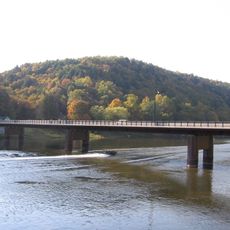
Indian God Rock is a large sandstone boulder on the bank of the Allegheny River in northwestern Pennsylvania, covered with carvings made directly into its surface. The rock sits at the water's edge and can be seen from the river as well as from the hiking trails nearby.
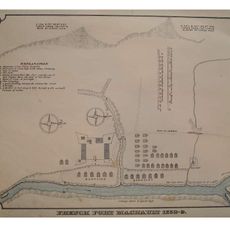
French explorer Céloron de Blainville was the first European to record the site in 1749, guided there by indigenous companions who already knew it well. The carvings on the rock are far older than that visit and were made by Native peoples over a long period before any written record.
The carvings are still visible on the rock face today, showing human figures, animals, and geometric shapes worked directly into the sandstone. Visitors who come close can trace the outlines and get a sense of how much care went into each image.
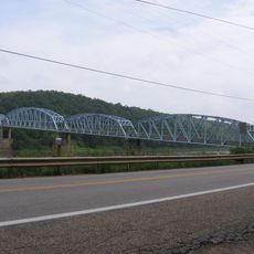
The rock can be reached on foot along trails that follow the river bank, or by canoe and kayak using the Middle Allegheny River Water Trail. Water levels affect visibility, so visiting when the river is low gives a clearer view of the full rock surface and its carvings.
Some of the carvings cut so deeply into the sandstone that they have stayed sharp after centuries of exposure to the river and weather. This durability is partly why the site survived long enough to be recorded by European travelers when they first came through the valley.
The community of curious travelers
AroundUs brings together thousands of curated places, local tips, and hidden gems, enriched daily by 60,000 contributors worldwide.