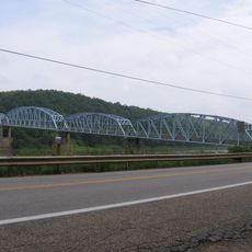
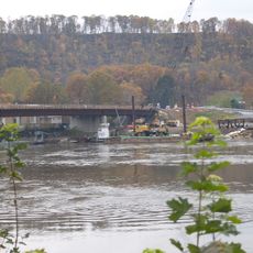
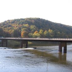
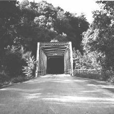
Emlenton Bridge, Road bridge in Pennsylvania, United States
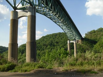
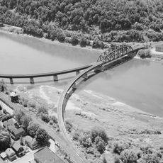
Emlenton Bridge is a road bridge crossing the Allegheny River with a steel-truss structure that rises significantly above the water. The bridge carries traffic across the river valley, connecting communities on both sides of the waterway.
When completed in 1968, this bridge held the distinction of being the highest in the Interstate Highway System at that time. The record stood only until another bridge surpassed it just a few years later.
The bridge connects three Pennsylvania counties - Venango, Clarion, and Butler - representing a physical link between different local communities along Interstate 80.
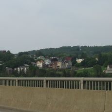
The bridge carries traffic on Interstate 80, providing a reliable crossing for travelers in all directions. For those wishing to view or photograph it, the riverbanks and surrounding areas offer better vantage points than the bridge itself.
The bridge was designed and built through collaboration between experienced engineers and construction firms from the region. Their combined expertise resulted in a structure that showcased advanced engineering methods of the late 1960s.
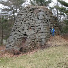
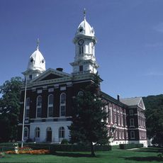
The community of curious travelers
AroundUs brings together thousands of curated places, local tips, and hidden gems, enriched daily by 60,000 contributors worldwide.