Clarion County

Log in to your account

AroundUs is a community-driven map of interesting places, built by curious explorers like you. It grows with every review, story, and photo you share.
Connect to save your favorite spots, contribute locations, and create personalized routes.
Continue with Google
Continue with Apple
Continue with X
Continue with Facebook
Continue with email
By continuing, you accept our Terms and Conditions and our Privacy Policy
Create an account
Add to collection
Map
Suggest a change
Share

Clarion County, Administrative county in western Pennsylvania, United States.

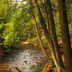
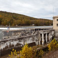
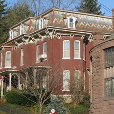
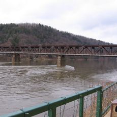
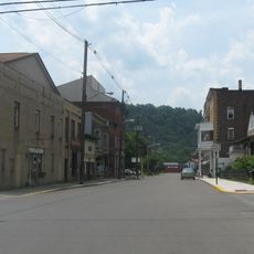
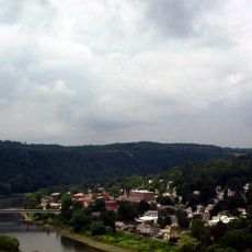
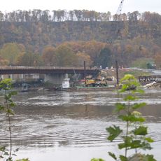
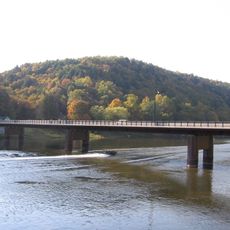
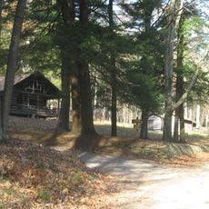
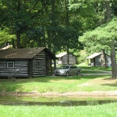
Clarion County is an administrative division in western Pennsylvania that covers approximately 610 square miles across the Allegheny Plateau region. Forests, rivers, and rolling terrain define the landscape throughout the area.

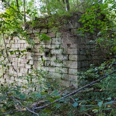
The county was established in 1839 when the Pennsylvania General Assembly merged sections of neighboring Venango and Armstrong counties to create this new administrative division. This consolidation responded to the growing needs of the developing region.

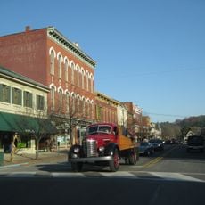
The Autumn Leaf Festival shapes community life by bringing residents together for seasonal celebrations with parades and local vendor gatherings. These events reflect how people here connect with the changing seasons and each other.

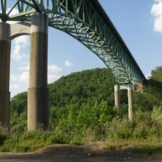
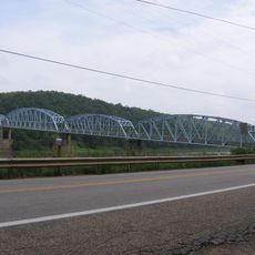
Interstate 80 crosses through the county, connecting directly to Pittsburgh about 77 miles away and linking to major transportation corridors. This highway makes travel in and out of the area straightforward and convenient.

The Clean & Green program supports landowners in managing agricultural spaces through specialized tax assessment methods. This system helps preserve farmland and forests for future generations.

Location: Pennsylvania

Inception: March 11, 1839

Capital city: Clarion

Shares border with: Forest County, Jefferson County, Armstrong County, Butler County, Venango County

Website: http://co.clarion.pa.us

GPS coordinates: 41.19000,-79.42000

Latest update: December 7, 2025 10:06

Photos
Around this place
Cook Forest State Park
United States of America

Cook Forest State Park

26.1 km
Foxburg Country Club
United States of America

Foxburg Country Club

22.2 km
Emlenton Bridge
United States of America

Emlenton Bridge

23.3 km
Allegheny River Lock and Dam No. 9
United States of America

Allegheny River Lock and Dam No. 9

28.3 km
Parker Bridge
United States of America

Parker Bridge

23.9 km
Brookville Historic District
United States of America

Brookville Historic District

28.4 km
Rockland Furnace
United States of America

Rockland Furnace

28 km
Brookville Presbyterian Church and Manse
United States of America

Brookville Presbyterian Church and Manse

28.4 km
Foxburg Bridge
United States of America

Foxburg Bridge

22.6 km
Sutton-Ditz House
United States of America

Sutton-Ditz House

3.9 km
Clarion County Courthouse and Jail
United States of America

Clarion County Courthouse and Jail

4 km
Bradys Bend Iron Company Furnaces
United States of America

Bradys Bend Iron Company Furnaces

27.4 km
Emlenton Historic District
United States of America

Emlenton Historic District

24.5 km
Emlenton Low Level Bridge
United States of America

Emlenton Low Level Bridge

24.2 km
St. Stephen's Church
United States of America

St. Stephen's Church

28.1 km
Buchanan Furnace
United States of America

Buchanan Furnace

13.3 km
Joseph E. Hall House
United States of America

Joseph E. Hall House

28.3 km
Anthony Wayne Cook Mansion
United States of America

Anthony Wayne Cook Mansion

23.8 km
Gray-Taylor House
United States of America

Gray-Taylor House

28.3 km
Sergeant Carl F. Curran II Bridge
United States of America

Sergeant Carl F. Curran II Bridge

27.6 km
Colwell Cut Viaduct
United States of America

Colwell Cut Viaduct

28.6 km
Foxburg Bridge
United States of America

Foxburg Bridge

22.6 km
Bridge between Madison and Mahoning Townships
United States of America

Bridge between Madison and Mahoning Townships

28.9 km
Cook Forest State Park River Cabin District
United States of America

Cook Forest State Park River Cabin District

24.4 km
Cook Forest State Park Indian Cabin District
United States of America

Cook Forest State Park Indian Cabin District

23.9 km
Oil City Pennsylvania Railroad Bridge
United States of America

Oil City Pennsylvania Railroad Bridge

34.8 km
East Brady Bridge
United States of America

East Brady Bridge

27.5 km
Cook Forest Tower
United States of America

Cook Forest Tower

22.8 km
Show the full map
Reviews

Visited this place? Tap the stars to rate it and share your experience / photos with the community! Try now! You can cancel it anytime.

« Clarion County - Administrative county in western Pennsylvania, United States » is provided by Around Us (aroundus.com). Images and texts are derived from Wikimedia project under a Creative Commons license. You are allowed to copy, distribute, and modify copies of this page, under the conditions set by the license, as long as this note is clearly visible.

Discover hidden gems everywhere you go!

From secret cafés to breathtaking viewpoints, skip the crowded tourist spots and find places that match your style. Our app makes it easy with voice search, smart filtering, route optimization, and insider tips from travelers worldwide. Download now for the complete mobile experience.

Around Us App Screenshot

A unique approach to discovering new places

Le Figaro

All the places worth exploring

France Info

A tailor-made excursion in just a few clicks

20 Minutes