Dry Creek
Location: Clairview
Location: Isaac Regional
GPS coordinates: -22.07056,149.51543
Latest update: November 5, 2025 01:06
Cape Palmerston National Park
54.2 km
West Hill National Park
27.1 km
Northumberland Islands National Park
59.9 km
St Lawrence Police Station
30.5 km
Christ Church Anglican Church, St Lawrence
30.8 km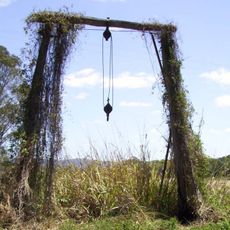
Carmila Cane Lift
22 km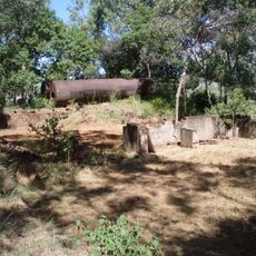
Meatworks and Wharf Site, St Lawrence
34.4 km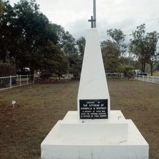
Koumala War Memorial
58.7 km
Kelvin National Park
65.2 km
Four Mile Beach
33 km
Three Mile Beach
14.7 km
Sand Bank Bay (10)
41.9 km
Memorial
58.7 km
Dawson Beach
65.2 km
4 Mile Beach
34 km
Parker Creek
51.5 km
Notch Point Beach
37.3 km
Scenic viewpoint
59.8 km
Scenic viewpoint
36.7 km
Scenic viewpoint
30.7 km
3 Mile Beach
17.6 km
Memorial
21 km
Old Barmount Motel
59.1 km
Memorial
62.9 km
Broadsound Centenary Pavilion
30.7 km
Schneiders Inn
36.8 km
Croydon Commemorative Park
57.3 km
1956 Olympic Torch
57.3 kmReviews
Visited this place? Tap the stars to rate it and share your experience / photos with the community! Try now! You can cancel it anytime.
Discover hidden gems everywhere you go!
From secret cafés to breathtaking viewpoints, skip the crowded tourist spots and find places that match your style. Our app makes it easy with voice search, smart filtering, route optimization, and insider tips from travelers worldwide. Download now for the complete mobile experience.

A unique approach to discovering new places❞
— Le Figaro
All the places worth exploring❞
— France Info
A tailor-made excursion in just a few clicks❞
— 20 Minutes