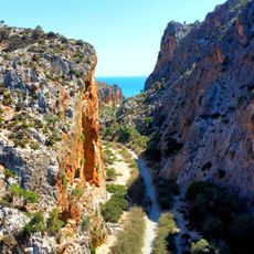
Agiofarango
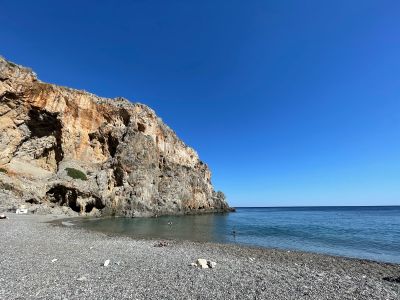
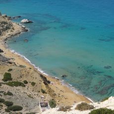
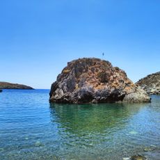
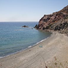
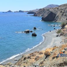
Agiofarango is a pebble beach situated at the mouth of a deep gorge on Crete's southern coast. The beach is surrounded by steep cliffs, with a natural rock arch on the western side that swimmers can pass beneath, and features calm, clear blue water suitable for swimming and snorkeling. The setting is quiet and remote, with no modern facilities nearby.
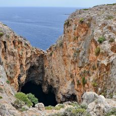
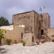
The area has been inhabited since the Minoan period, with archaeological tombs dating back around 2000 BC found in the region. Beginning centuries ago, Christian hermits were drawn to the gorge, with up to 300 monks living in caves within the gorge and gathering annually in the large Goumenospilios Cave.
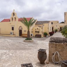
The name Agiofarango means 'Gorge of the Saints' because Christian hermits and monks sought refuge here over centuries. A small chapel dedicated to Saint Anthony from the 14th century still stands near the beach and is occasionally used for religious ceremonies, reflecting the area's spiritual importance to local communities.
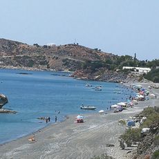
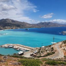
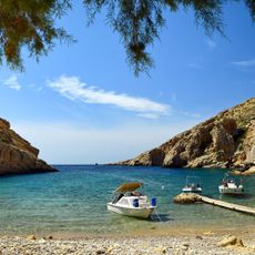
Visitors can hike through the gorge in 30 to 50 minutes or take a boat from nearby villages such as Matala, Kali Limenes, or Agia Galini. Bring plenty of water, food, and sun protection, as there are no shops or facilities on site and medical help is limited in this remote location.
To the southeast of the beach lies a hidden salt lake called Vourvoulitis, surrounded by high cliffs and connected to the sea through an underwater passage. Although descent to the lake is dangerous and not recommended, the sight of this concealed water body adds an unusual and memorable dimension to the already remote setting.
The community of curious travelers
AroundUs brings together thousands of curated places, local tips, and hidden gems, enriched daily by 60,000 contributors worldwide.