
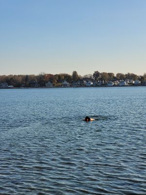
Fire Station Beach
Location: Quincy
Address: 723R+545, Quincy, MA 02169, USA 02169 Quincy
GPS coordinates: 42.25251,-70.95951
Latest update: March 25, 2025 02:03

United States Naval Shipbuilding Museum
1.3 km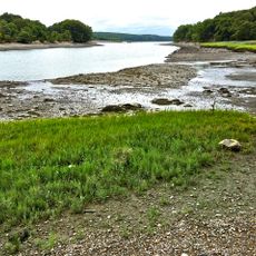
Great Esker Park
3 km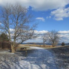
Webb Memorial State Park
2.9 km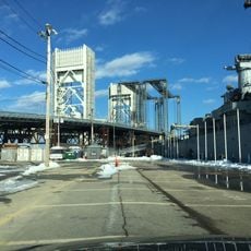
Fore River Bridge
1.1 km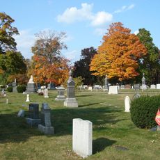
Mount Wollaston Cemetery
3.3 km
Weymouth Back River Reservation
2.6 km
Christ Church
3.4 km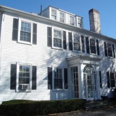
Edward Miller House
3.3 km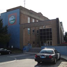
Quincy Police Station
3.1 km
Seth Spear Homestead
3.3 km
Dr. Frank Davis House
3.3 km
Baxter Street Historic District
3.3 km
John Adams School
2.8 km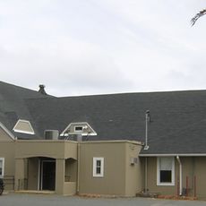
Fore River Club House
1.6 km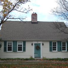
Pratt-Faxon House
3.4 km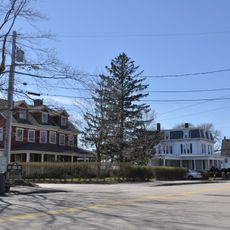
Sea Street Historic District
1.4 km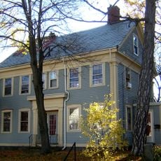
Hardwick House
3.3 km
House at 25 High School Avenue
3.4 km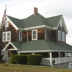
House at 32 Bayview Avenue
2.1 km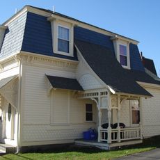
Solon Dogget House
3.2 km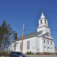
Weymouth Meeting House Historic District
2.8 km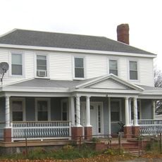
Brown-Hodgkinson House
378 m
Olindy's
3 km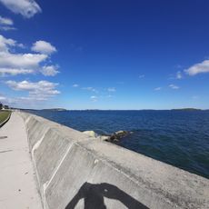
Manet Beach
1.8 km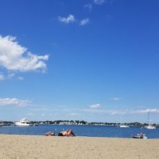
Wessagusset Beach
966 m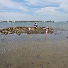
George Lane Beach
1.6 km
Smith Beach
2.6 km
Post Island Beach
1.8 kmVisited this place? Tap the stars to rate it and share your experience / photos with the community! Try now! You can cancel it anytime.
Discover hidden gems everywhere you go!
From secret cafés to breathtaking viewpoints, skip the crowded tourist spots and find places that match your style. Our app makes it easy with voice search, smart filtering, route optimization, and insider tips from travelers worldwide. Download now for the complete mobile experience.

A unique approach to discovering new places❞
— Le Figaro
All the places worth exploring❞
— France Info
A tailor-made excursion in just a few clicks❞
— 20 Minutes