Chief Mountain, Sacred mountain peak in Glacier County, Montana
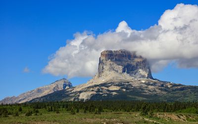
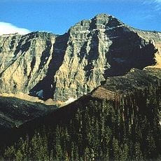
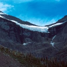
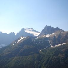
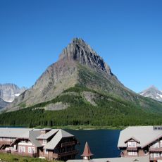
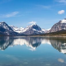
Chief Mountain is a peak in Glacier County, Montana, defined by steep limestone cliffs that form a distinctive rectangular shape against the sky. The formation rises as an isolated ridge above the surrounding plains with visible layered rock structures on its slopes.
British cartographers recorded the mountain as King Mountain on maps from 1795, while Meriwether Lewis documented it as Tower Mountain during his expedition. These different names show how early explorers perceived and named features of the landscape.
The Blackfeet Nation knows this peak as Ninaistako and continues to use it as a center for traditional ceremonies and spiritual practices. The name and its cultural significance remain integral to the community's relationship with the land.
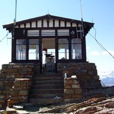
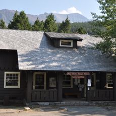
Access to this peak requires a Blackfeet Fish and Wildlife Conservation Permit, and visitors must stay within designated areas. Planning ahead to obtain the necessary permit and understanding the access rules is important before visiting.
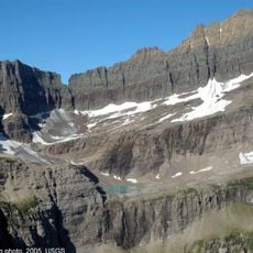
The peak consists of Precambrian limestone that has been thrust over younger Cretaceous shales, creating an unusual geological arrangement. This layering tells a complex story of ancient crustal movement and makes the formation scientifically noteworthy.
The community of curious travelers
AroundUs brings together thousands of curated places, local tips, and hidden gems, enriched daily by 60,000 contributors worldwide.