
Summit Adventure Park
Location: Lower Towamensing Township
Operator: Blue Mountain
GPS coordinates: 40.81015,-75.51889
Latest update: November 6, 2025 00:02
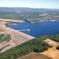
Beltzville State Park
11.1 km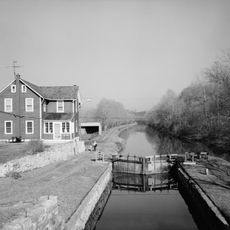
Lehigh Canal
8.5 km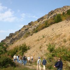
Lehigh Gap
8.4 km
Lehigh Gap
8.4 km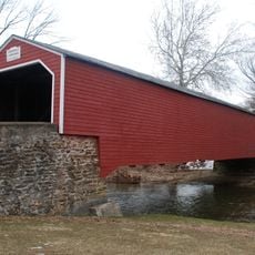
Kreidersville Covered Bridge
9.9 km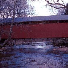
Little Gap Covered Bridge
2.4 km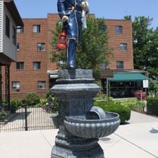
Fireman's Drinking Fountain
10.2 km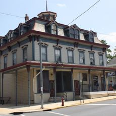
Slatington Historic District
10.4 km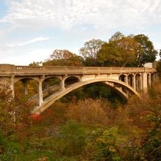
Cold Spring Bridge
12.2 km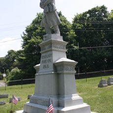
Vigilant Fire Company Firemen's Monument
11.2 km
Palmerton Historic District
7.6 km
State Game Lands Number 168
5.4 km
Woodstone Golf Club
3.6 km
Sons of Liberty
7.6 km
Blue Shamrock Golf Club
9.3 km
Southmoore Golf Course
12 km
Halls of Horror
7.7 km
Walnutport Lehigh River Access
9.7 km
Palmerton "Patches"
7.5 km
Indian Mountain Golf Course
11 km
Work of art, sculpture
9.5 km
Scenic viewpoint
11.6 km
Scenic viewpoint
8.8 km
Scenic viewpoint
5.8 km
Scenic viewpoint
4.6 km
Scenic viewpoint
3.5 km
Princess Run Waterfall
8.3 km
Wild Creek Falls
9.6 kmReviews
Visited this place? Tap the stars to rate it and share your experience / photos with the community! Try now! You can cancel it anytime.
Discover hidden gems everywhere you go!
From secret cafés to breathtaking viewpoints, skip the crowded tourist spots and find places that match your style. Our app makes it easy with voice search, smart filtering, route optimization, and insider tips from travelers worldwide. Download now for the complete mobile experience.

A unique approach to discovering new places❞
— Le Figaro
All the places worth exploring❞
— France Info
A tailor-made excursion in just a few clicks❞
— 20 Minutes