Lehigh Gap, Water gap in Washington Township and East Penn Township, Pennsylvania, United States.
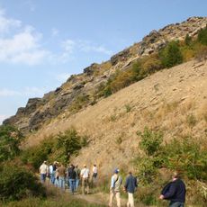
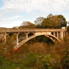
Lehigh Gap is a water gap in Pennsylvania where the Lehigh River cuts through Blue Mountain, forming a natural passage between Carbon County to the north and Lehigh County to the south. Steep rock walls rise on both sides of the river, and Pennsylvania Route 248 crosses through the opening at the base.
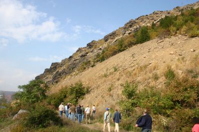
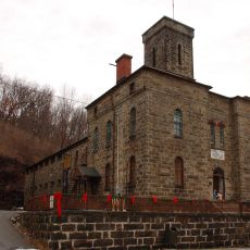
In the 1800s, four separate railroad companies ran tracks through the gap, making it a busy passage for freight and commerce moving across the mountain. The industrial activity that followed left the surrounding land heavily contaminated with lead and other metals from mining operations.
The gap sits along a long trail that follows old transportation routes once used to move goods through the region, and hikers still walk the same corridor today. The contrast between the rocky slopes and the slowly returning plant life gives the place a feeling that is hard to find elsewhere.
Pennsylvania Route 248 runs directly through the gap and is the easiest way to reach the area by car. Hiking trails follow the river and climb the mountain slopes, but some sections are steep and uneven, so sturdy footwear is a good idea.
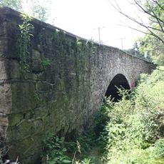
A railroad bridge built by the Lehigh and New England Railroad still stands in the gap, abandoned but visible from the road below. It is one of the few remaining traces of the four rail lines that once ran through this narrow passage at the same time.
The community of curious travelers
AroundUs brings together thousands of curated places, local tips, and hidden gems, enriched daily by 60,000 contributors worldwide.