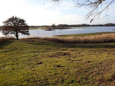
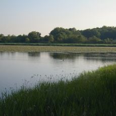
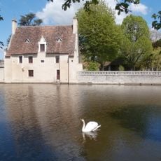
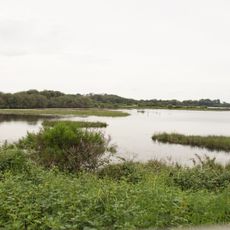
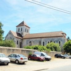
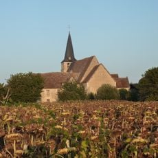
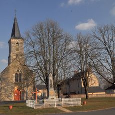
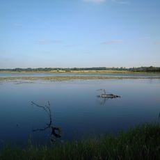
Étang du Sault, Natural pond in Migné, France
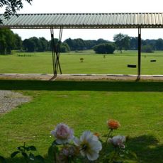
Étang du Sault is a pond in Migné with pathways circling its banks and several observation points. Visitors can reach different spots to view the water and the surrounding landscape.
The pond emerged from agricultural land use in the 19th century. Over time it transformed into a recreational space for the local community.
The pond serves as a gathering place for community events and outdoor activities, connecting residents through shared experiences in nature.
The pathways are clearly marked and easy to follow for most visitors. It is advisable to wear comfortable shoes and be prepared for slippery conditions after rain.
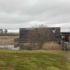
The pond features wooden walkways and observation platforms where visitors can study water wildlife and plants up close. These structures allow people to watch nature without disturbing the local species.
The community of curious travelers
AroundUs brings together thousands of curated places, local tips, and hidden gems, enriched daily by 60,000 contributors worldwide.