Brenne Regional Natural Park, Regional natural park in Indre, France
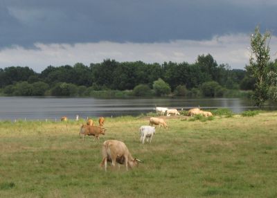
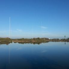
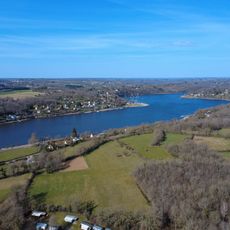
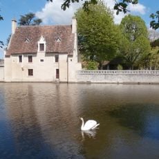
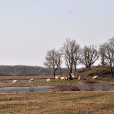
Brenne Regional Natural Park covers 1,672 km2 in the Indre department, with Le Blanc as its capital and 47 communes inside its boundaries. The Creuse cuts the park in two, and the Anglin flows through the southern half, the Petite Brenne. In the Grande Brenne, water, woods, heath and meadows interlock around artificial ponds dug into clay and sandstone soils; low sandstone mounds called buttons rise between them.
The designation as a regional park took place in the early 1980s to protect the traditional pond farming and wetlands from drainage. The area once belonged partly to the province of Berry and partly to Touraine, and many of the ponds were created by monks as early as the 12th century.
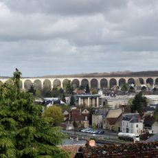
The name Brenne comes from a Celtic word for wet moorlands, and today you see fish farming in shallow ponds that have been worked since medieval times. Small villages of brick and half-timber stand between the water surfaces, and residents still practice draining the ponds in autumn to harvest carp.
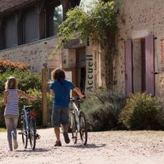
The park covers 1,672 km² across 47 communes, with Le Blanc as its capital; the Creuse cuts it in two and the Anglin flows through the southern half. Marked paths follow pond shores and forest tracks, and some routes suit cycling or horseback riding. The Maison du Parc in Rosnay is the place to ask about access and current conditions.
The park's ponds are all artificial, dug from clay and sandstone soils too wet for crops in winter and too dry in summer. The 1,672 km2 park was created on 22 December 1989 after local officials mobilised against the decline of their territory, and it was classified under the Ramsar convention in 1991. Its capital is Le Blanc, and 47 communes lie within its bounds.
The community of curious travelers
AroundUs brings together thousands of curated places, local tips, and hidden gems, enriched daily by 93,521 contributors worldwide.