Rochusstele
Location: Stadtbezirk 5
Location: Düsseldorf
Creator: Friedel Lepper
Creator: Friedel Lepper
GPS coordinates: 51.33745,6.79236
Latest update: November 23, 2025 06:29
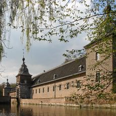
Heltorf Castle
1.5 km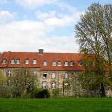
Burg Angermund
980 m
Überanger Mark - Hinkesforst
1.9 km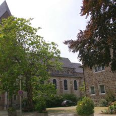
St. Agnes
653 m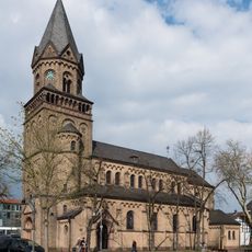
Catholic Church St. Anna, Ratingen Lintorf
2.8 km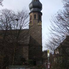
Saint Hubertus Church
1.7 km
Rahmer Benden
984 m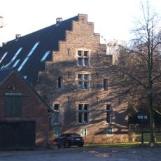
Haus Bilkrath
1.5 km
Naturwaldzelle Hinkesforst
2 km
Überanger Mark
1.2 km
Rahmer Benden / Scheiderbruch
1.6 km
Bürgerhaus Angermund
508 m
Waldgebiet "Grindsmark"
2 km
LSG-Landwirtschaftliche Bereiche "Kesselberg","An der Bueschergasse","Flieschmacher","Steinwerth"
2.5 km
LSG-Angermunder Kiesseen
2.3 km
LSG-Dickenbusch
2.2 km
LSG-Grossenbaumer See, Rahmer See
2.6 km
LSG-Scheider Bruch <Raumeinheit B>
1.5 km
Heltorf Park
2 km
LSG-Kleinebruch <Raumeinheit B>
2.4 km
Überanger Mark
975 m
LSG-Landwirtschaftliche Flaechen in Rahm-Ost
1.2 km
Überanger Mark
2.5 km
Erdmann Gallery + Art + Events
546 m
Catholic church building, wayside cross, Christianity
906 m
Catholic church building, wayside cross, Christianity
710 m
Memorial stone, memorial
2.5 km
Wayside shrine
2.1 kmReviews
Visited this place? Tap the stars to rate it and share your experience / photos with the community! Try now! You can cancel it anytime.
Discover hidden gems everywhere you go!
From secret cafés to breathtaking viewpoints, skip the crowded tourist spots and find places that match your style. Our app makes it easy with voice search, smart filtering, route optimization, and insider tips from travelers worldwide. Download now for the complete mobile experience.

A unique approach to discovering new places❞
— Le Figaro
All the places worth exploring❞
— France Info
A tailor-made excursion in just a few clicks❞
— 20 Minutes